Why collaboration challenges are common in construction projects
Construction projects are complex by nature. At any given stage, different teams may be working from different versions of the same plans—or from site knowledge that was never formally documented.
The result is a set of problems most AEC professionals know well: outdated drawings, limited visibility into current site conditions, miscommunication between disciplines and repeated site visits that consume time and budget without moving the project forward.
These aren't minor inefficiencies. When each discipline is working from a different picture of the same space, errors compound—and corrections are expensive.
How digital building documentation improves construction project coordination
Digital building documentation gives everyone on a project the same accurate spatial reference—regardless of where they're located or what stage the project is at.
Site capture tools scan existing conditions and produce a set of deliverables that all teams can access and share throughout the project lifecycle:
- Virtual walkthroughs that allow remote exploration of a space without requiring a site visit
- Floor plans that give everyone a consistent layout reference for planning and coordination
- Precise measurements that remove guesswork and support confident decision-making
- Visual records of existing or in-progress conditions
Instead of each team member interpreting the space independently, everyone works from the same captured data—reducing the friction that comes from misaligned spatial assumptions.
How architects, engineers and contractors use building documentation differently
The underlying data is shared, but each discipline uses it according to their own workflow.
Architects use spatial documentation to review layout and assess design constraints against real-world conditions.
Engineers use it to evaluate structural or mechanical considerations without returning to site.
Contractors use existing conditions documentation to plan their work in advance—understanding the space before they arrive and reducing the likelihood of on-site surprises.
Because everyone draws from the same captured data, there's no need to start from scratch at each handoff and less risk of errors introduced through version misalignment.
How iGUIDE supports collaboration across project teams
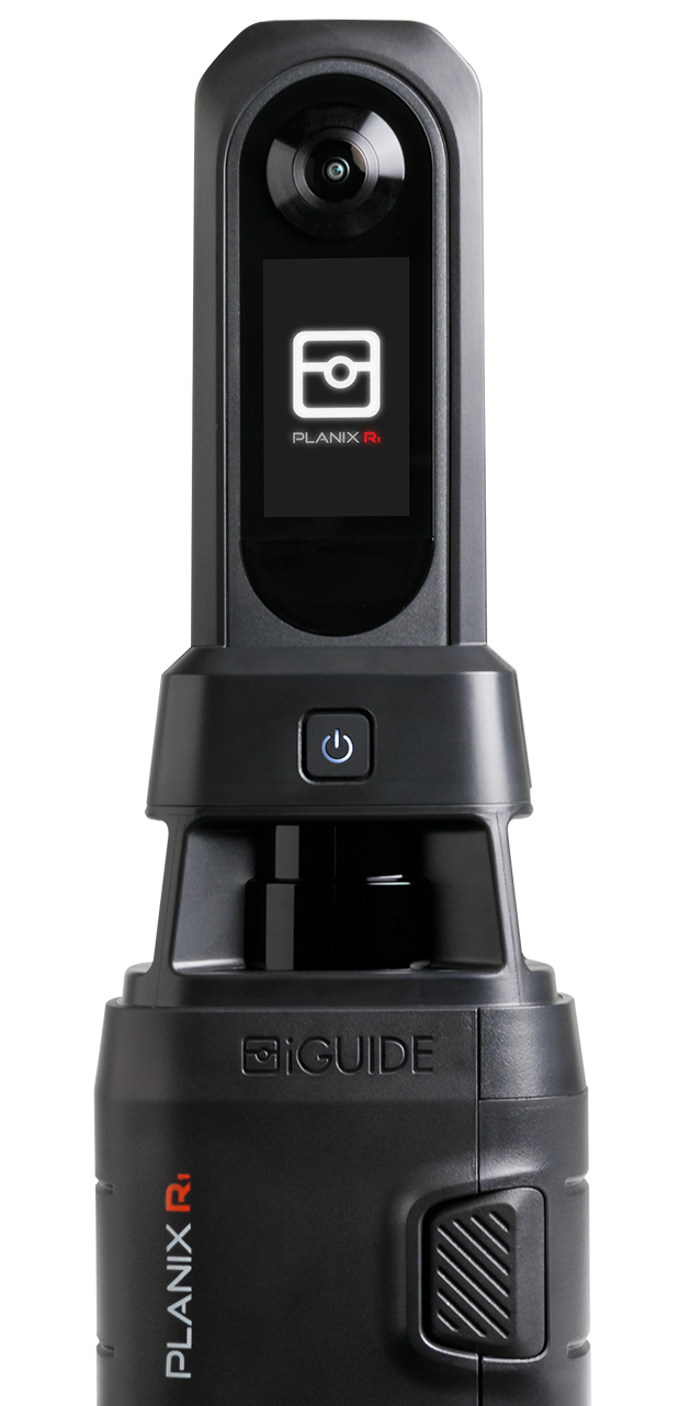
iGUIDE is a property documentation platform that gives AEC teams the spatial data they need to stay aligned from early design through final handoff.
Before using iGUIDE, MC3 Design—an architectural design-build practice—dedicated two people and four hours to measure a single-family build by hand. With iGUIDE, they now send one person for one to two hours.
"Having the existing field condition drawings has been a massive benefit to all of our clients," says owner John McKenna, "especially to the contractor clients to be able to coordinate things, understand where everything is, and make any tweaks that they may need.”
Using iGUIDE, project teams can:
- Access immersive 3D walkthroughs remotely, reducing the need for repeated site visits
- Work from accurate floor plans that provide consistent layout reference across all disciplines
- Apply precise spatial measurements to plan and coordinate with confidence
- Share documentation with investors, subcontractors and other stakeholders through a single link
For teams that need CAD-ready outputs, iGUIDE produces DWG floor plans that integrate directly into existing design workflows. See Using iGUIDE for Architecture & Remodel for a full breakdown of packages and use cases.
See the AEC solution page for a full breakdown of iGUIDE's capabilities for architecture, engineering and construction teams.
How better documentation helps construction projects move faster
The downstream benefits of accurate, shared documentation show up across the project lifecycle.
Fewer site visits means less time lost to travel and scheduling coordination.
Better communication between disciplines means fewer assumptions and fewer errors at handoff points. Less misinterpretation of plans means less rework—one of the most significant cost drivers in construction. And faster access to accurate spatial data means decisions don't have to wait for the next site visit.
From pre-construction through to completion, documentation that everyone can access and trust keeps projects moving.
Frequently asked questions
Building documentation in construction is the process of capturing accurate information about a physical space—its layout, measurements and existing conditions. Architects, engineers and contractors use this information to plan, coordinate and verify work at every stage of a project.
Architects document existing conditions through site surveys, which may include manual measurements, photography and digital scanning tools that produce floor plans and immersive walkthroughs. Digital methods are faster on site and produce more consistently accurate outputs than measuring by hand.
Construction teams use digital building documentation platforms to capture site conditions once and share the resulting data—floor plans, measurements and virtual tours—across all project stakeholders. This reduces reliance on repeated site visits and gives distributed teams a common spatial reference to work from.
Accurate measurements are important in renovation projects because poor data leads to material waste, installation errors and rework. When teams plan from precise spatial data rather than estimates or outdated drawings, they can make better decisions earlier and avoid costly surprises once work begins.
Construction teams share site documentation without multiple site visits using digital capture tools that produce shareable files—including 3D virtual tours and floor plans—accessible remotely. One scan creates a reusable record that investors, subcontractors and designers can all reference on demand.
Check out more from iGUIDE

What inaccurate site surveys actually cost your project
A bad site survey doesn't create one problem. It creates a chain of them. Manual measurements can be 10–30% inaccurate and across a portfolio of locations, that margin compounds into return site visits, revised drawing sets and rework that eats 5–10% of total project cost.

What is the new SLAM feature in iGUIDE PLANIX R1 and Pro?
SLAM stands for Simultaneous Localization and Mapping and in the iGUIDE PLANIX R1 and Pro it is used in combination with LiDAR data to track and show, in real-time, an Operator’s position providing guidance for scan placement. This method of using SLAM is unique to iGUIDE. It comes from a desire to grow the capabilities of iGUIDE Service Providers while maintaining speed and flexibility of capture.

Why architects hate site surveys (and what to do about it)
Architects spend too much time and money on site surveys and too many projects stall because of missing or inaccurate measurements. Here's how iGUIDE gives you accurate floor plans, as-builts and CAD files from a single visit.