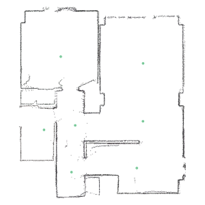
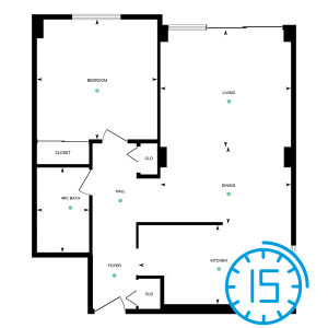
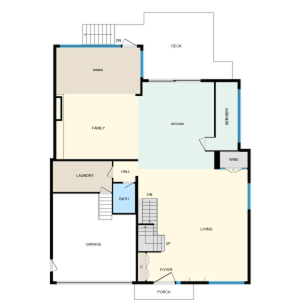
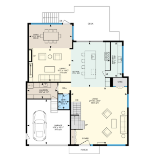
Your fastest path to accurate floor plans and 3D virtual tours
Own your data, floor plans and virtual tour — all from a single scan.
4.9/5 based on 30+ reviews
Trusted by thousands of professionals worldwide





Capture measure and share spaces with confidence
See how iGUIDE reduces steps, removes guesswork and helps your team move faster.
Reliable, standards-based floor plans
Deliver ANSI and RMS-compliant layouts with precise square footage and measurements so clients, contractors and stakeholders know they can rely on the numbers.
Fast, ready-to-use formats from one capture
Capture spaces in under 15 minutes and get floor plans, measurements and 3D tours delivered within hours in PDF, CAD, SVG and more. Fully compatible with your tools from Xactimate to Flexmls.
Immersive 3D tours included, always
Share interactive tours that help teams plan, clients collaborate and everyone stay on the same page without return visits. Professional, easy to navigate and built to impress.
Edit, share, own your data, no subscriptions required
Get your floor plans, 3D tour, property report and all selected files delivered fast, ready to use, share and move forward.
Experience how easy it is to explore, measure and understand a space
Try a real iGUIDE tour and see it for yourself.
Tailored for your industry
Built for the way you work.
Photos aren’t enough anymore
In a slower, more competitive market, iGUIDE helps agents stand out with immersive 3D tours and accurate standards-based floor plans all captured in a single visit. It builds trust, drives engagement and helps listings sell up to 39% faster with no subscriptions or delays.
See how agents win with iGUIDESee what’s behind the walls
Capture accurate measurements and detailed visual records before drywall goes up, giving architects, designers, and homeowners a lasting reference for planning upgrades or future renovations. Files export easily to CAD or Revit for a seamless workflow.
See how projects start with iGUIDEDefensible documentation starts on day one
Capture detailed floor plans and 3D visuals with 0.5% measurement uncertainty, helping insurance and restoration teams assess damage remotely, reduce site visits, and collaborate with confidence. No hosting fees, no backtracking.
See how teams document with iGUIDEDon’t take our word for it, hear it from the pros.
Real stories from professionals using iGUIDE to win more business, save time and deliver better results.
View customer stories
Lauren Murphy / Photographer
Monster Media House

John McKenna / Owner
MC3 Design

Jeremiah Kiefer / Founder & CEO
The Deft Group

Rachel Morgan / Realtor
Morgan Wasley
No subscriptions. Powerful tools.
Explore the PLANIX R1 camera and iGUIDE packages to find the setup that fits your workflow.
iGUIDE Advanced Drawing Package
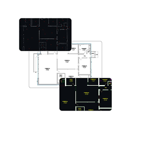
Starting at
$210.00 CAD
$0.14 per ft² (1,500 ft² minimum)
Per project
iGUIDE Instant Sketch
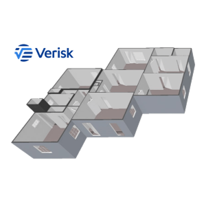
Starting at
$34.99 CAD
Flat fee
iGUIDE Standard Sketch
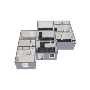
Starting at
$90.00 CAD
Per project
iGUIDE Premium Sketch
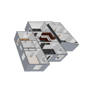
Starting at
$108.00 CAD
$0.072 / ft² (1,500 ft² minimum)
Per project
*Price update effective January 1, 2026.
Introducing
iGUIDE PLANIX R1
$3,499.00 CAD
Capture high-res 360° imagery and precise measurements in seconds with the all-in-one PLANIX R1, built for speed, accuracy, and scale.
Buy nowAlan R / Real Estate Photographer
Self Employed
iGUIDE RADIX tour
Explore a sample iGUIDE RADIX project with 3D tour and point cloud.
iGUIDE Instant tour
See how fast iGUIDE Instant delivers a 3D tour and AI-generated floor plan—ready to explore in minutes.
iGUIDE Standard tour
Step into an iGUIDE Standard tour, explore interactive floor plans, and test measurements.
iGUIDE Premium tour
Experience an iGUIDE Premium tour with detailed floor plans and advanced measurement tools.
What people ask before getting started
From setup to deliverables, here’s what most new users want to know.
With the PLANIX R1 camera system, a 3,000 sq ft space can be fully captured in under 15 minutes, up to 3x faster than traditional methods.
Typical iGUIDE measurement uncertainty in distance measurement on a floor plan is 0.5% or better and the corresponding uncertainty in square footage is 1% or better, providing you the confidence required.
You can export your data in multiple formats including SVG, PDF, DWG, RVT, ESX and FML (coming soon), ready for use across a variety of platforms including CAD tools, Verisk Xactimate, or search portals / web listings.
No subscriptions required. You own your data and can download it anytime, or choose to host it on our secure platform.
Yes! iGUIDE is used across industries including insurance, restoration, architecture and construction, thanks to its accuracy and format flexibility.
Once a property is scanned with the PLANIX camera system, an immersive 3D virtual tour, schematic floor plan and rich property data is generated, no stitching or manual post-processing required.
Yes, iGUIDE lets you add your logo and customize the virtual tour and floor plans with branding options including company logo, contact information and customized colour schemes.
Get more out of iGUIDE

The ultimate 8-week summer marketing plan for real estate agents
Whether you're a solo agent or part of a team, this plug-and-play campaign gives you fresh ideas each week to stay consistent, stand out and keep your brand sizzling.
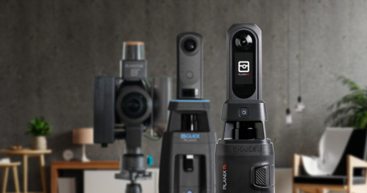
Comparing iGUIDE camera systems. Is the new R1 your perfect fit?
A new iGUIDE PLANIX camera system is here! The PLANIX R1’s sleek appearance is accompanied by new features incorporating lessons learned over the past decade of developing this camera technology.

The hidden costs of inaccurate site surveys
Opening a new restaurant or franchise location is a race against time. But here’s a shocking statistic: only 10% of new restaurants open on schedule (KPMG). The rest? They get stuck in delays—often because of inaccurate site surveys.
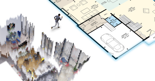
Escape the dollhouse: choose virtual tours built for the real world
Not all virtual tours are created equal. Dollhouse-style 3D views deliver flash, but professionals need precision, clarity and real-world usability. Discover why floor plan–based tours give you the data and navigation that matter.

Tech is important, but it’s only part of it. What matters is having a partner like iGUIDE who helps us scale and keeps things running smoothly.
Glen MacIsaac / Photography Manager
Royal LePage Atlantic
Thanks! You’re booked.
We’ll follow up with you shortly. Check your inbox for confirmation.
🍪 We use cookies (the digital kind)..
These, along with similar tools, help us understand how you use our site so we can improve its performance and tailor it to you. You can manage your preferences and choose which cookies to allow, just note that disabling some may affect how certain features work.
Preference Center
Our site uses cookies to improve content, security, and your experience. You can accept only necessary cookies or customize your settings. Learn more in our Cookie Notice.
-
Necessary / Essential Cookies
Always ActiveThese Cookies are essential to providing you with services available through the Website and enabling you to use some of its features. They help to authenticate users and prevent fraudulent use of user accounts. Without these Cookies, the services that you have asked for cannot be provided, and we only use these Cookies to provide you with those services.
-
Functional Cookies
These Cookies allow us to remember choices you make when you use the Website, such as your language preference. The purpose of these Cookies is to provide you with a more personal experience and to avoid you having to re-enter your preferences every time you use the Website.
-
Tracking & Performance Cookies
These Cookies are used to track information about traffic to the Website and how users use the Website. The information gathered via these Cookies may directly or indirectly identify you as an individual visitor. This is because the information collected is typically linked to a pseudonymous identifier associated with the device you use to access the Website. We may also use these Cookies to test new advertisements, pages, features, or new functionality of the Website to see how our users interact with them.
