
Site Survey Services
iGuide captures accurate, standardized LiDAR site surveys across every location, providing one consistent data set that architects, contractors, and facility teams can all work from. No platform lock-in. No surprises during construction.
Start projects faster, with fewer unknowns
Start Faster
Design-ready site data collected before design begins.Reduce Unknowns
Minimize surprises and rework during active projects.Standardized collaboration
A single source of truth dataset for all stakeholders.Scale consistently
Standardized deliverables and execution across markets.Retain ownership
All data and deliverables belong to you, no platform lock-in.
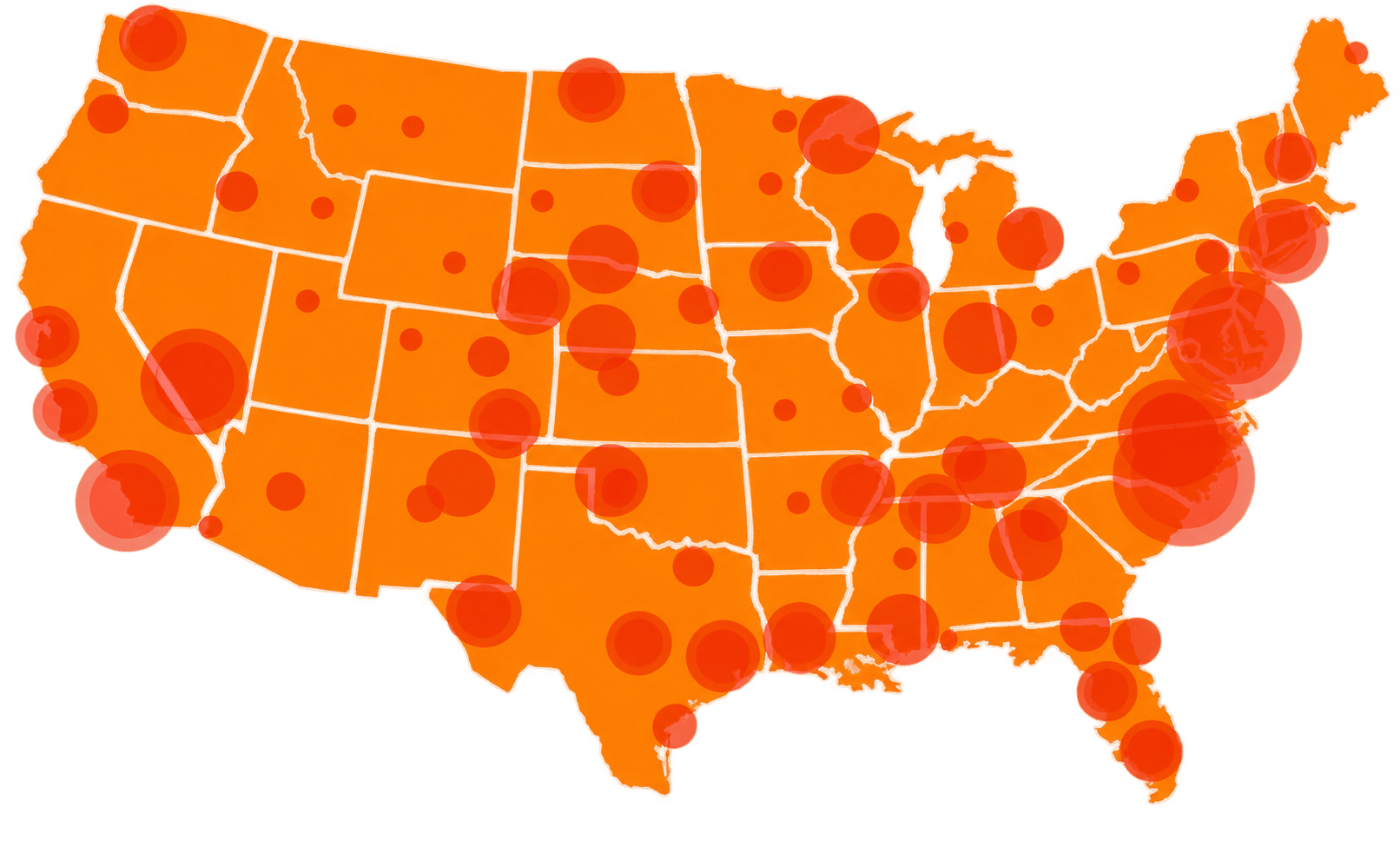
Consistent delivery across North America
- 2,500+ Capture Professionals
- Local capture pros available across North America.
- Single Point of Coordination
- Dedicated project management support for scheduling, communication and delivery.
- Standardized Deliverables
- Consistent outputs regardless of location, market or field technician.
- Consistent Timelines
- Site visits completed within 5 business days, delivery within 7 business days (post site visit).
iGuide Packages
You’re covered from site selection to pre-design, construction and occupancy.
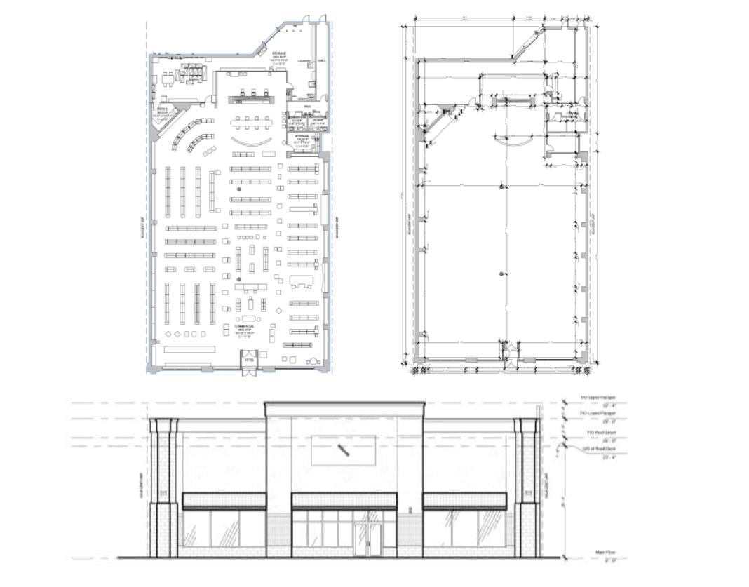
Advanced Drawing Package
For comprehensive property understanding, each iGuide CAD package includes comprehensive property documentation.
- As-Built Floor Plans
- Dimension Plans
- 3D Virtual Walkthrough
- Photo Tags of Services & Equipment
- Downloadable Offline File (self-hosting)
- Add: Exterior Elevation Drawings
- Add: Roof Plans
- Add: Reflected Ceiling Plans
- Add: 3D Model (RVT File)
iGuide CAD Add-ons
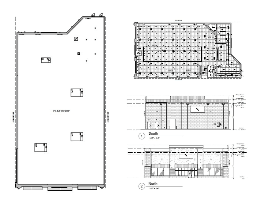
iGuide offers specialized deliverables beyond standard floor plans and walkthroughs to support planning, design, construction and facility management, added individually or combined into a package tailored to your project.
- Exterior Elevation Plans
- Rooftop Documentation – plans and equipment tags
- Reflected Ceiling Plans (RCP)
- Site Documentation – aerial and schematic plans
- Revit Models (RVT)
iGuide Premium
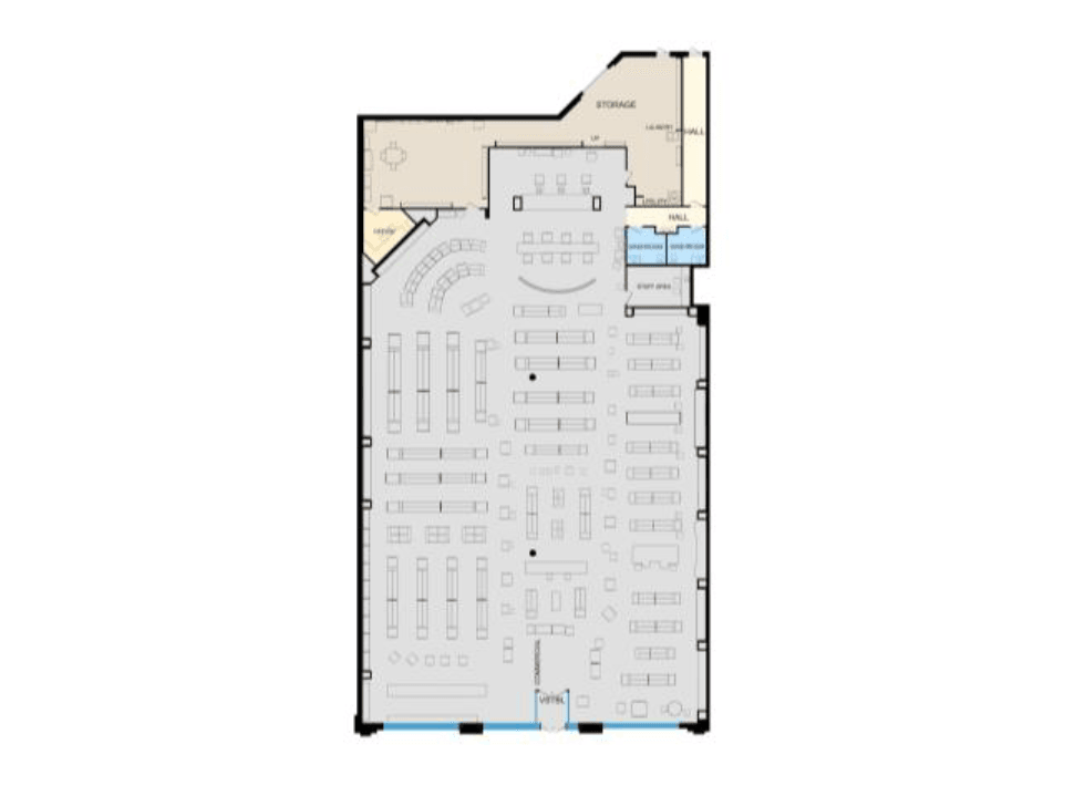
Provide an immersive virtual experience that lets colleagues, partners and contractors explore your site 24/7 from any location.
- 3D Virtual walkthrough
- Advanced measurements
- Room dimensions
- Floor area calculations
- Equipment photo tags (Make, serial numbers)
- Downloadable offline file (self-hosting)
- Detailed Schematic Floor Plans with fixtures and appliances
- Photo gallery & slide show
iGuide RADIX
iGuide RADIX provides fast and efficient site visual documentation. The online interface with LiDAR point cloud is shareable and can be used to view a site and measure in 3D space.
- LiDAR Point Cloud (DXF)
- 3D Virtual walkthrough
- Advanced on-screen measurements
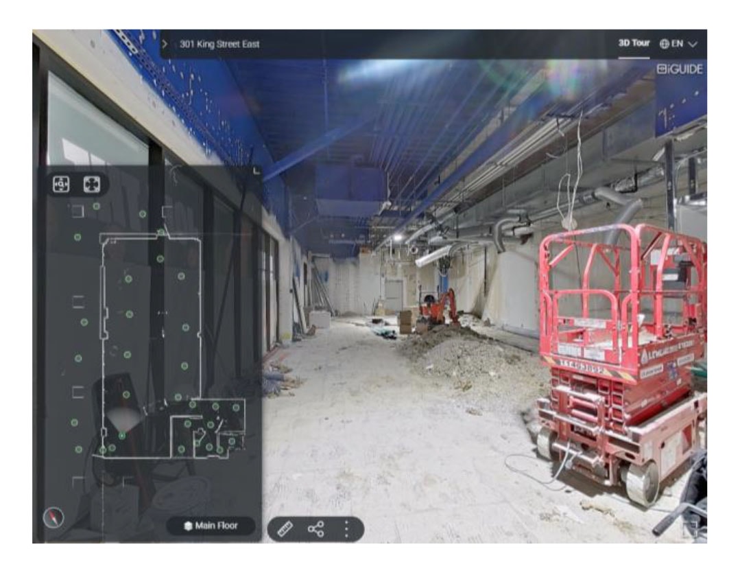

When I don’t have sufficient or accurate base building information, I reach out to iGuide. Their walkthroughs and drawings help me move forward with confidence.
The iGuide Project Management Team
Get to know the experts leading this session.

Pallavi Gor
Projects Lead
404.934.4044
pgor@planitar.com

Moyo Akinbola
Projects Manager
226-220-5126
makinbola@planitar.com

Kevin Klages
Projects Lead
519-574-4957
kklages@planitar.com