PLANIX R1
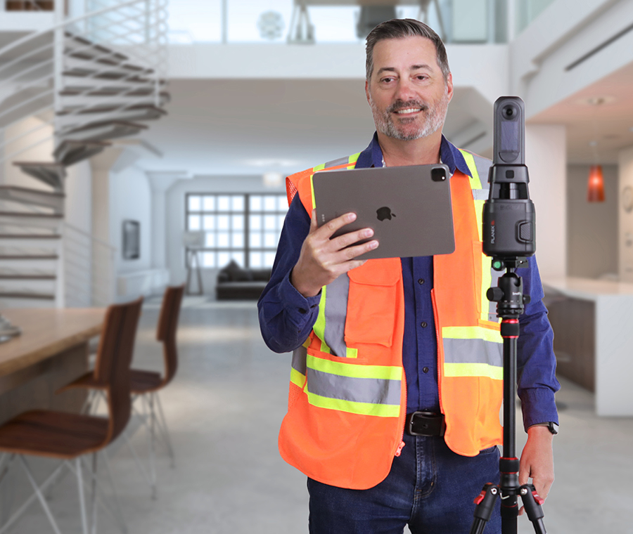
Measure, document and photograph a space simultaneously! Using a 360° time-of-flight lidar scanner with accuracy exceeding industry standards

iGUIDE
Converts PLANIX R1 camera data into iGUIDE 3D virtual walkthrough, including accurate floor plans, 360° images, room dimensions, photos and more.

Flexible solutions to fit your business
Find the option that fits your delivery schedule and specific needs.
Instant Sketch³
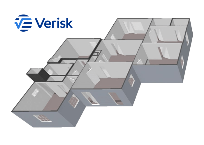
When you need to react quickly, an ESX file is delivered in minutes via Verisk Xactimate.
- Site documentation
- Lidar laser-accurate measurements
- Virtual walkthrough
Begin the claim before you leave the property.
Standard iGUIDE: ESX
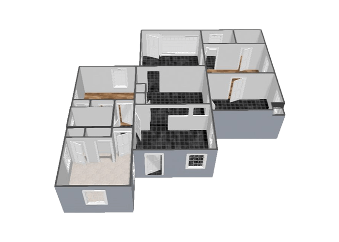
Capture structural property damage. A comprehensive ESX file is delivered within 24 hours⁴.
- Multi-floor capture
- Detailed annotations and tagging
- Structural features include walls, windows, doors and stairs
A complete documentation solution for more in-depth assessments.
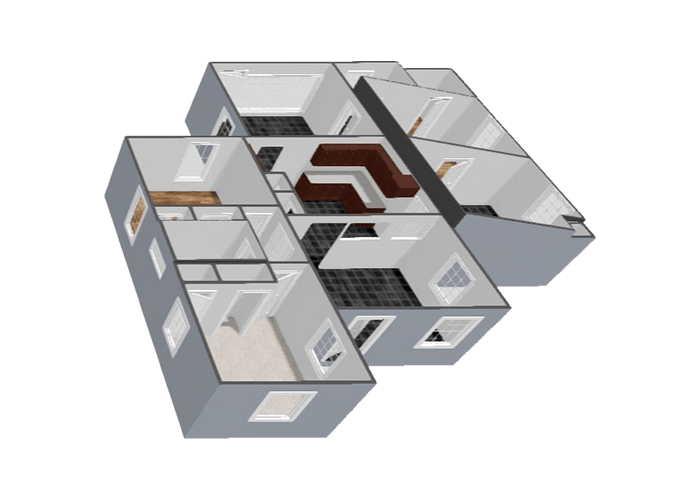
Premium iGUIDE: ESX
Captures structural and asset damage. A detailed ESX file is delivered within 24 hours⁴.
All features are included in the standard ESX file, cabinet components and complex ceilings.
Comprehensive documentation of properties impacted by floods, water damage and limited fire damage.
If you request an Instant Sketch but require additional detail, upgrade to iGUIDE Standard or Premium at any time.
³The machine-generated sketch quality relies on the input data the camera operator provides. Although iGUIDE and Verisk aim for typical file delivery in Xactimate within minutes, this timeframe may vary depending on load factors, such as after a catastrophic loss event. iGUIDE Instant Sketch is limited to properties no greater than 5,000 sq ft and projects with no more than 75 scans.
⁴ESX files are delivered within one business day, excluding holidays and outside office hours (Mon – Fri, 9am – 5pm EST).
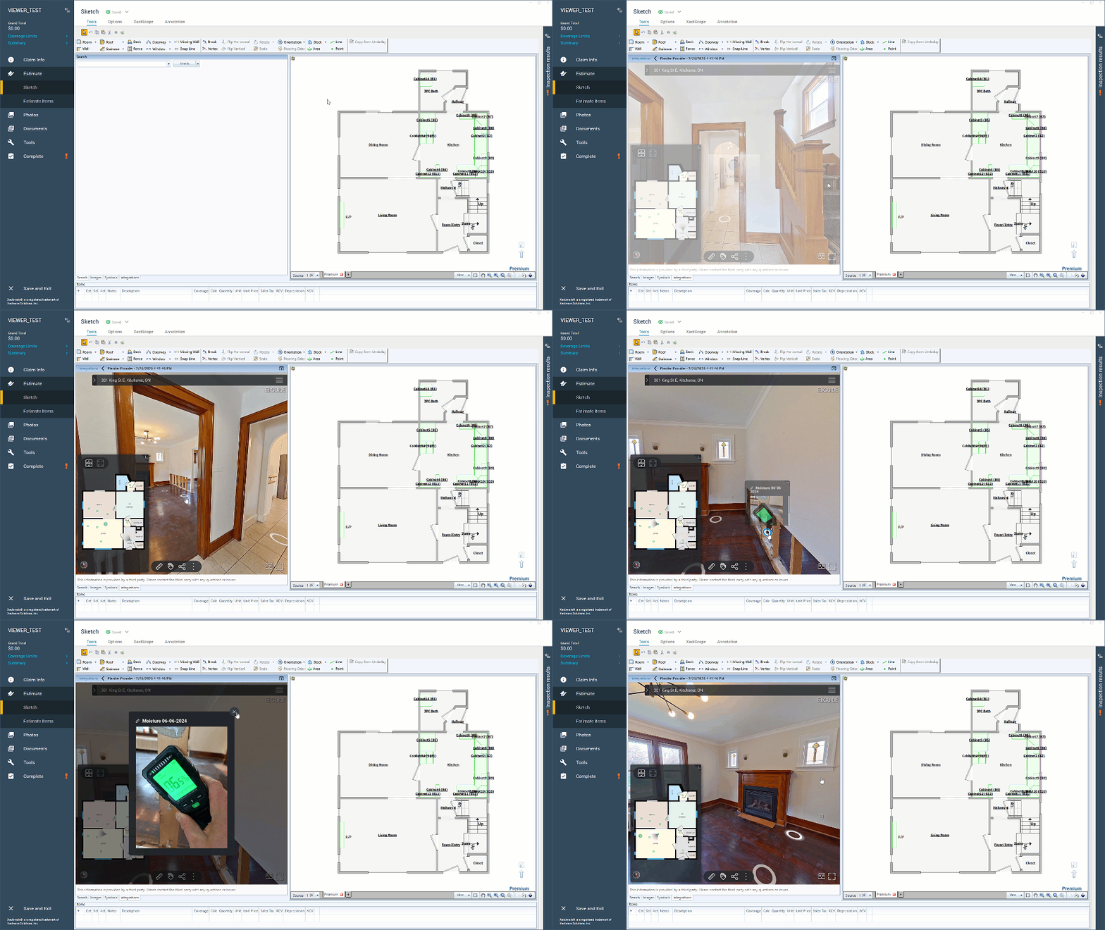
New in Verisk Xactimate: iGUIDE Virtual Walkthroughs
View, inspect and measure properties without switching programs. Whether estimating repairs, managing claims or collaborating with clients, iGUIDE Virtual Walkthroughs in Xactimate streamline remote inspections and improve accuracy.
Explore iGUIDE Floor Plans
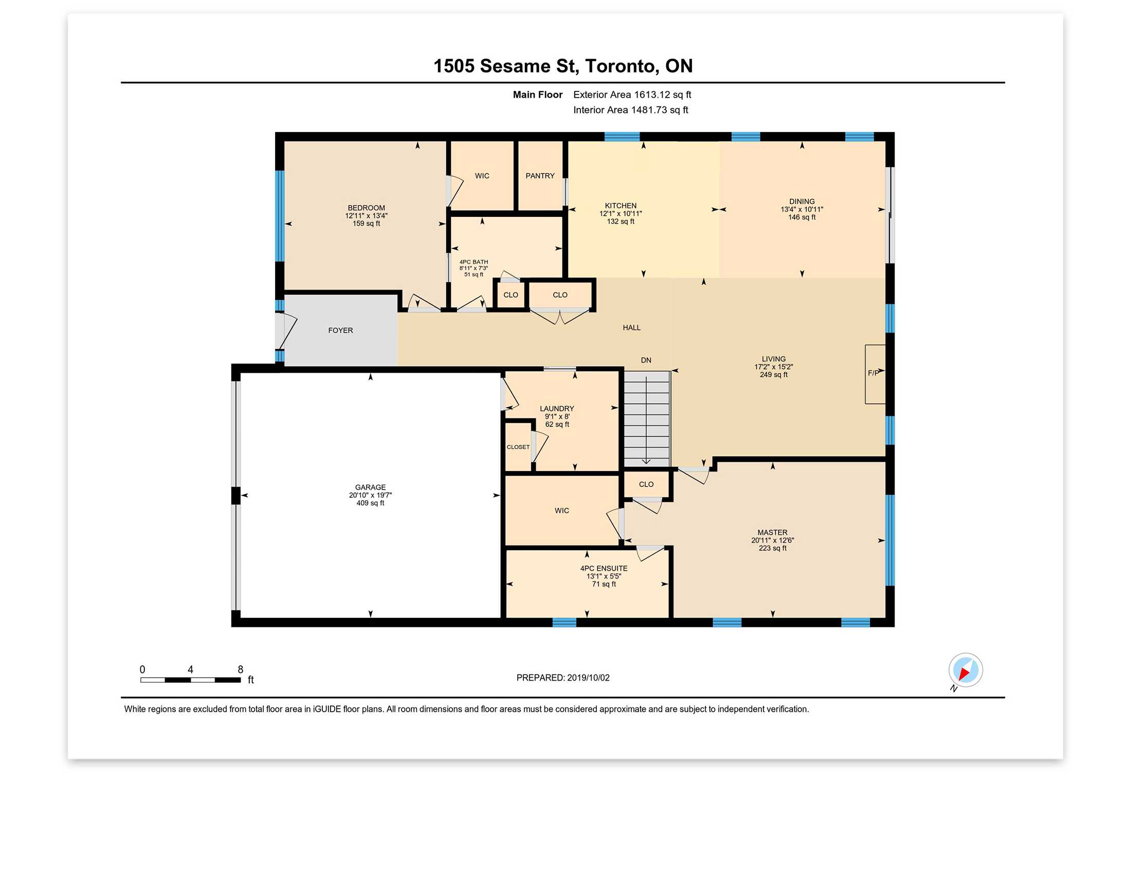
Features to fit your business.
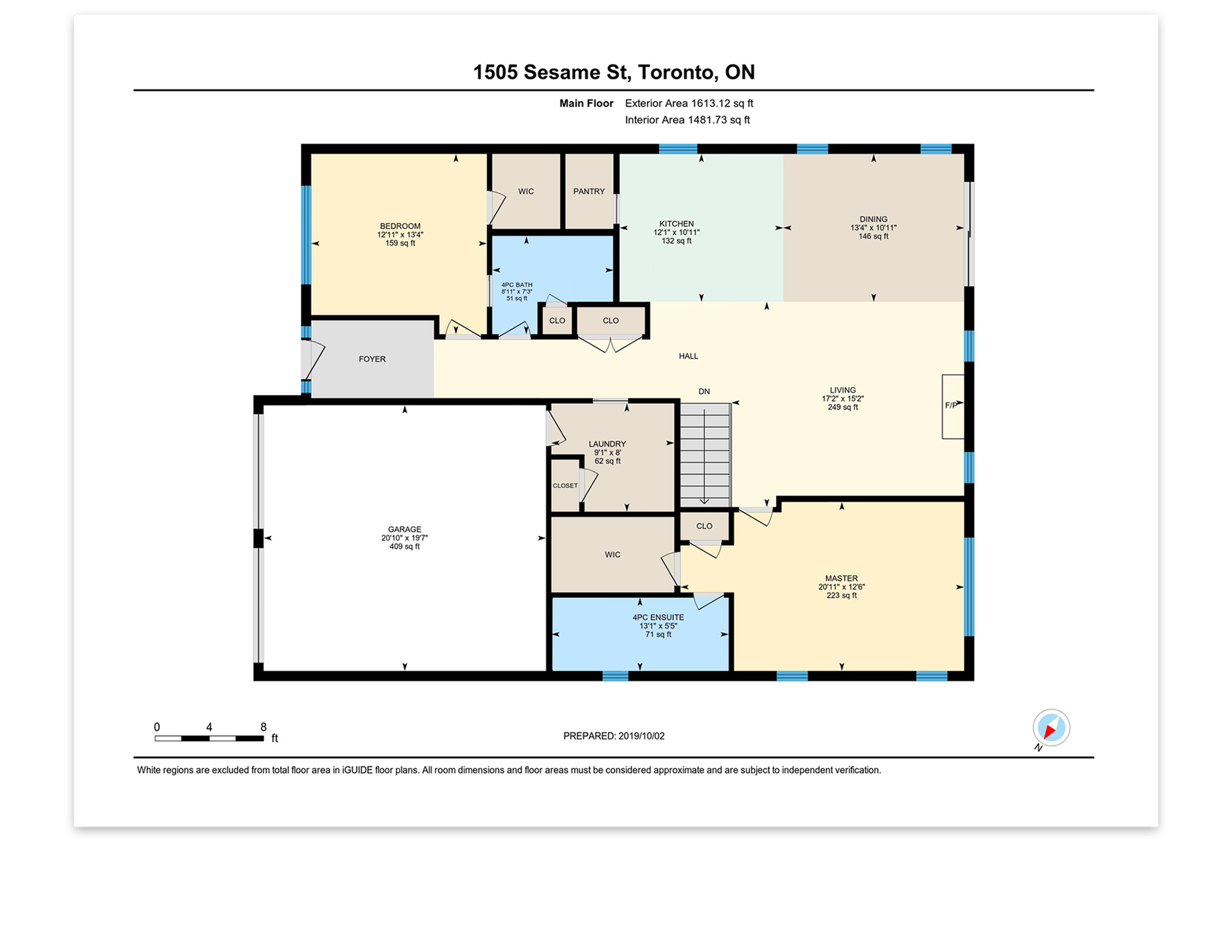
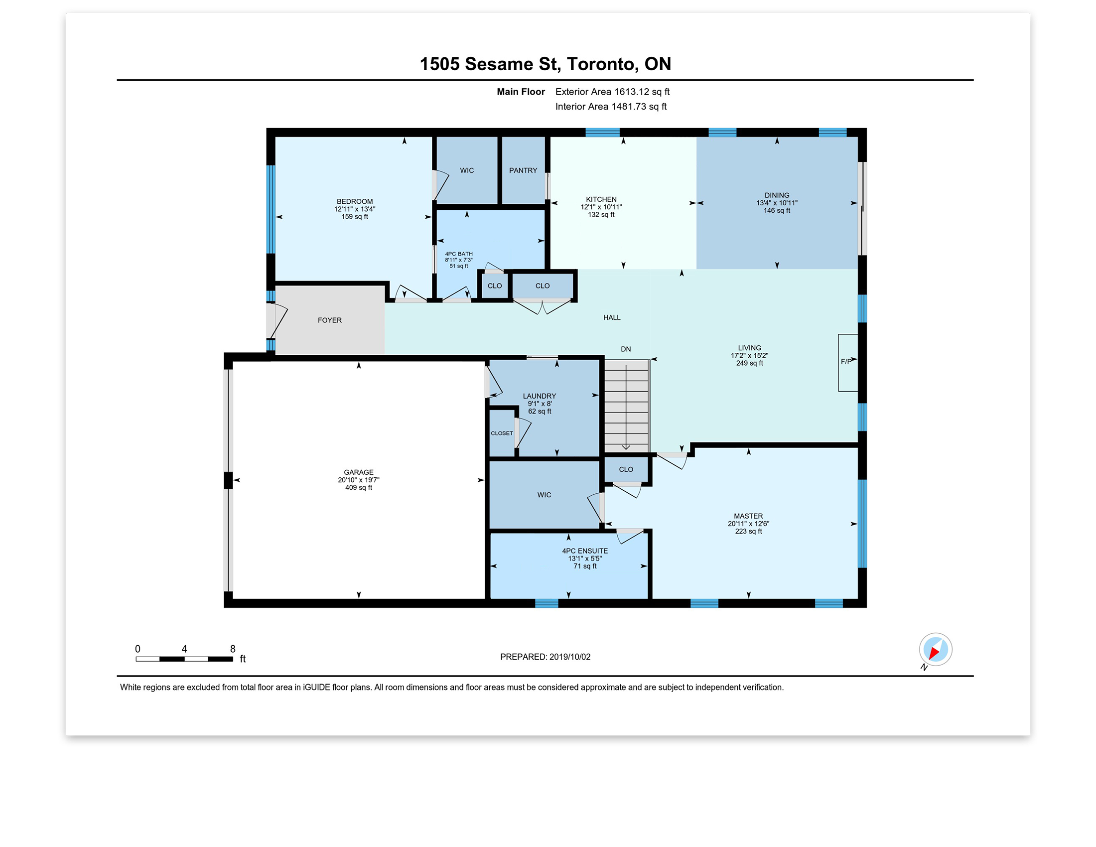
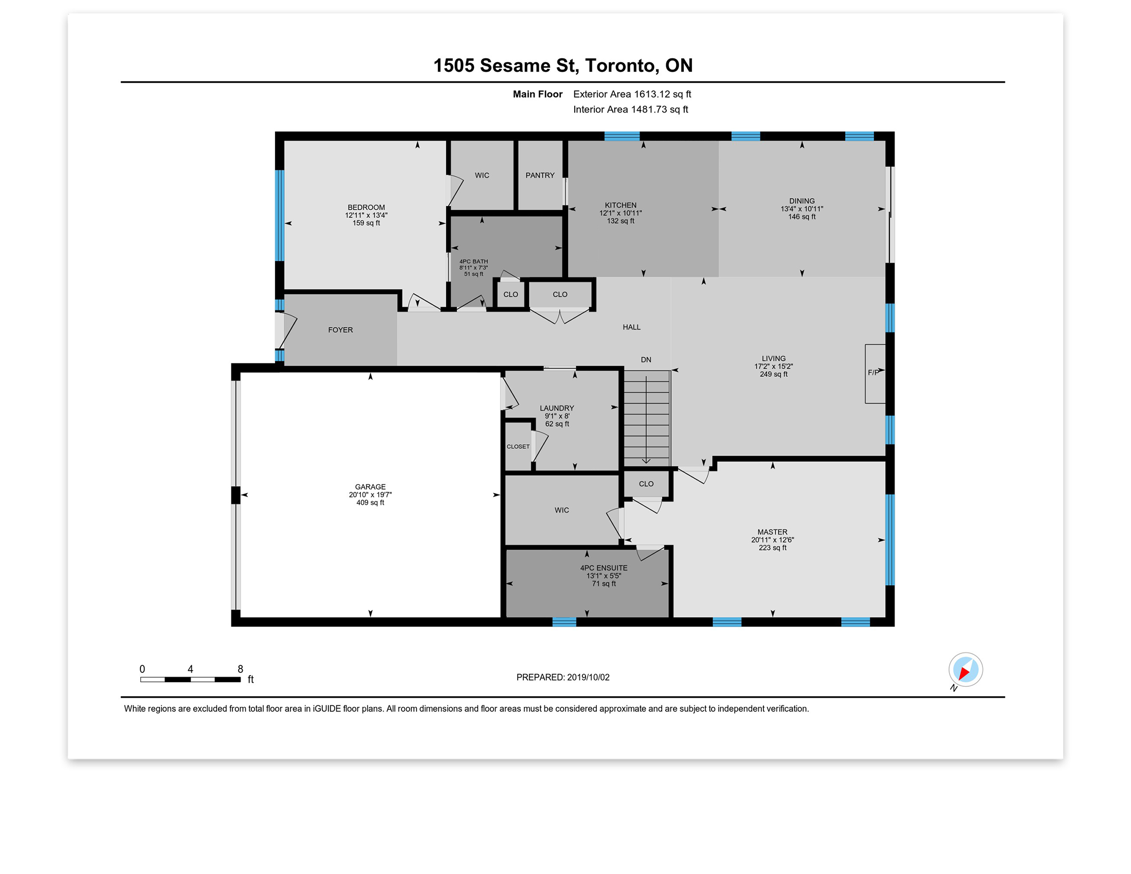
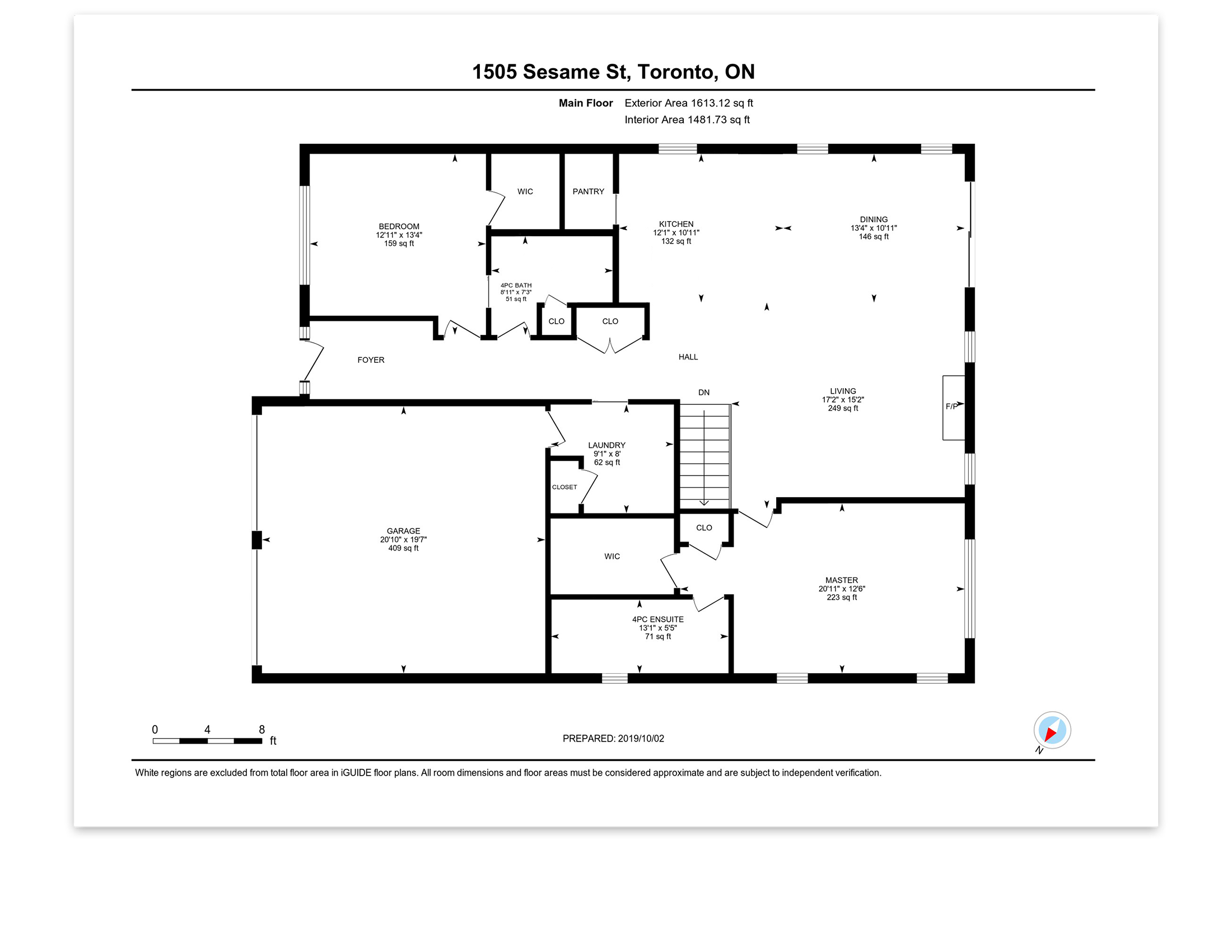
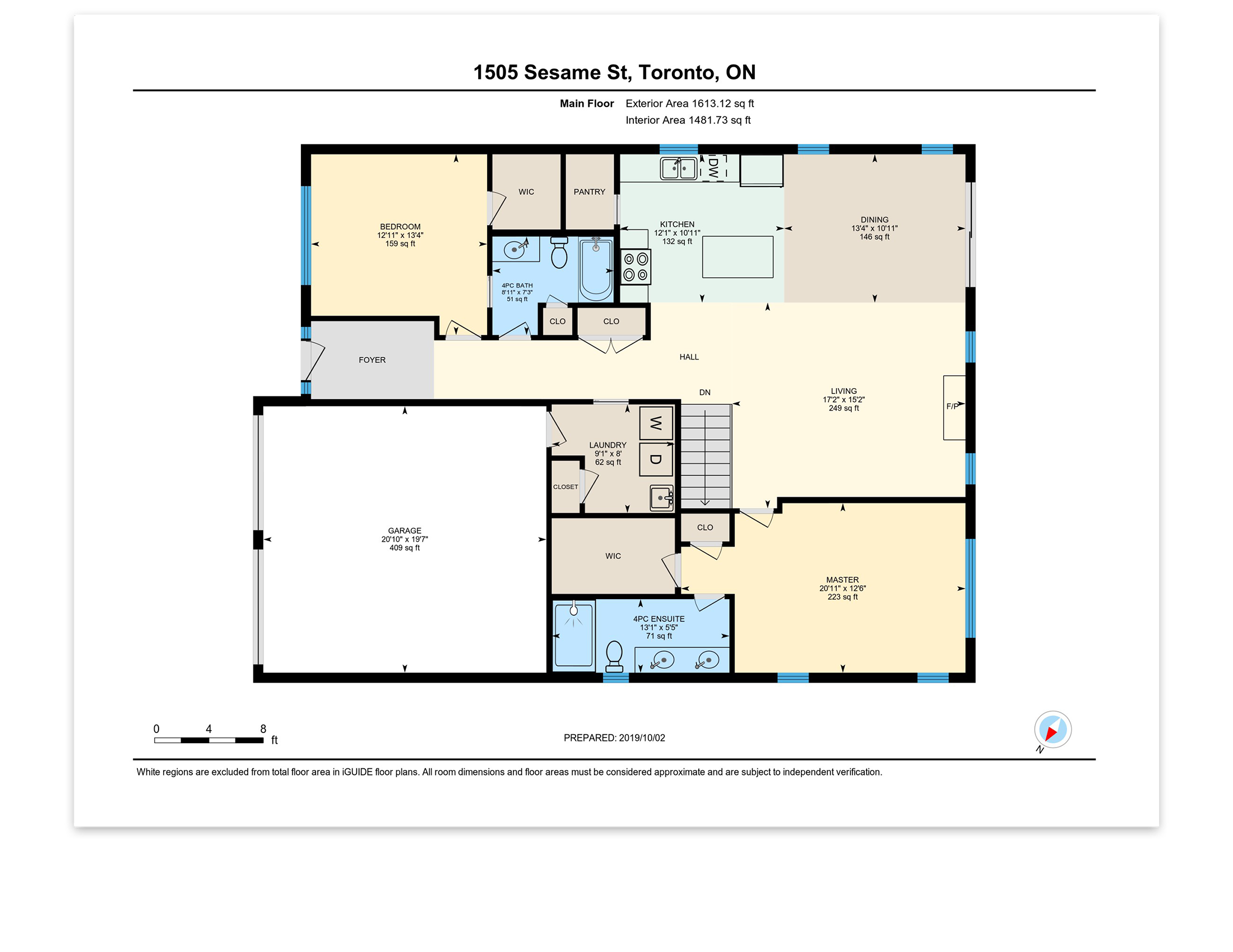
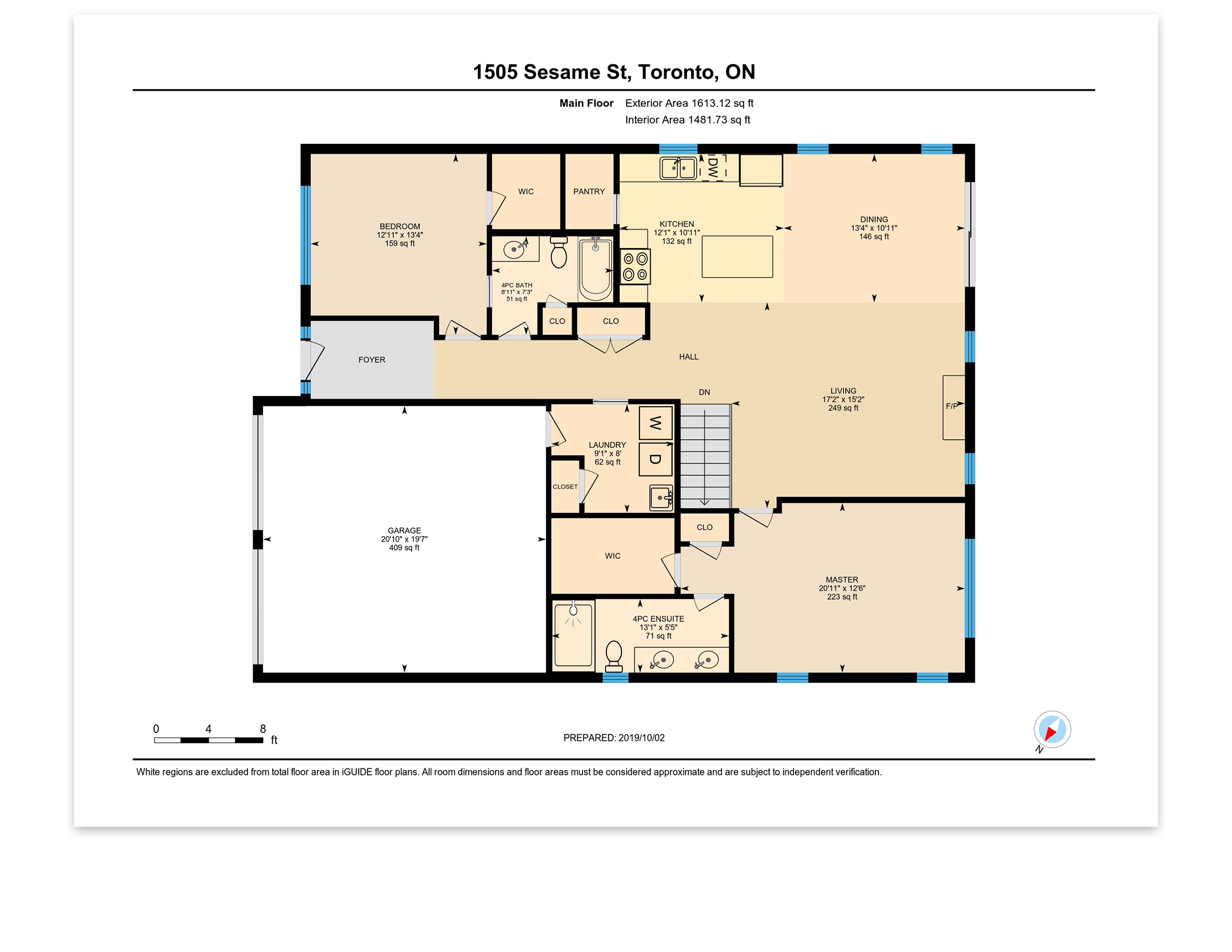
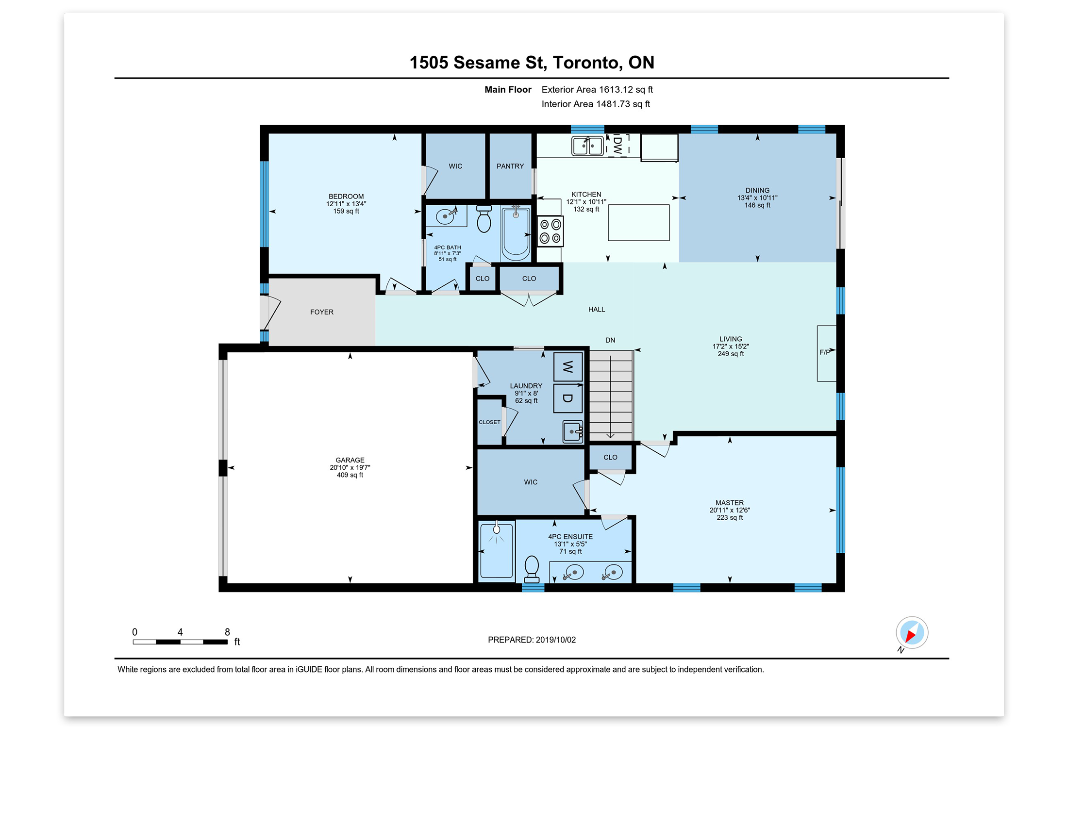
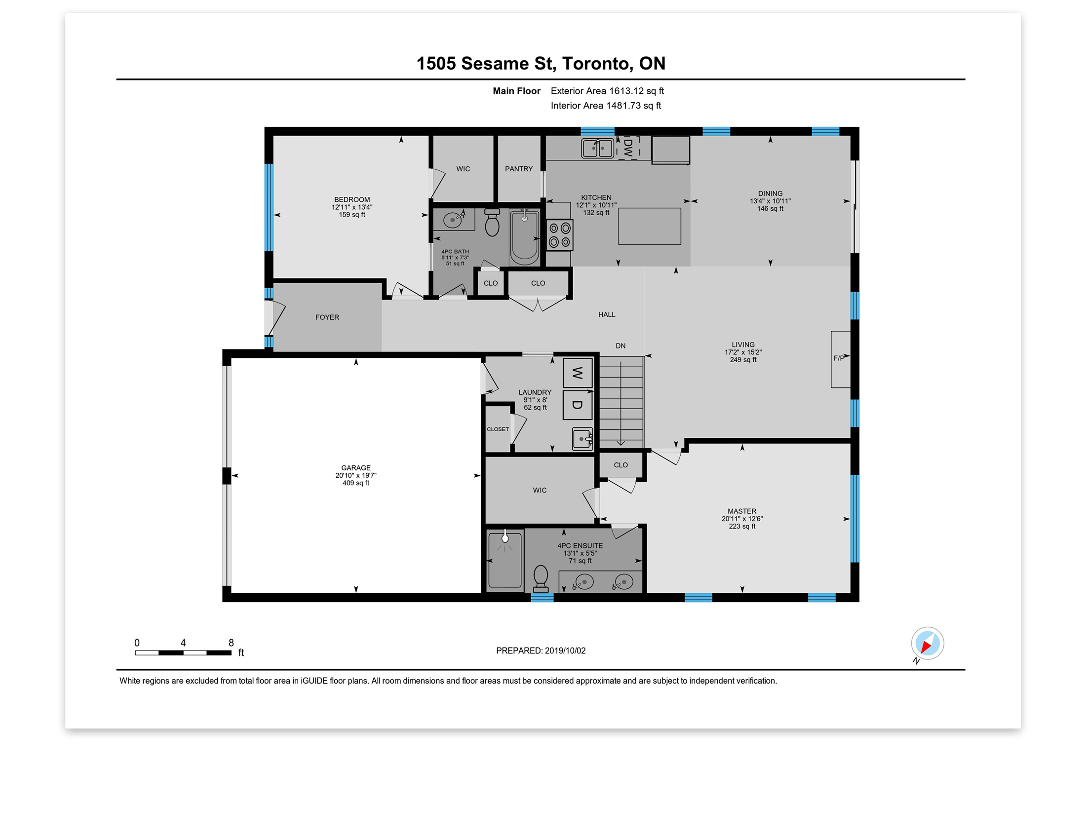
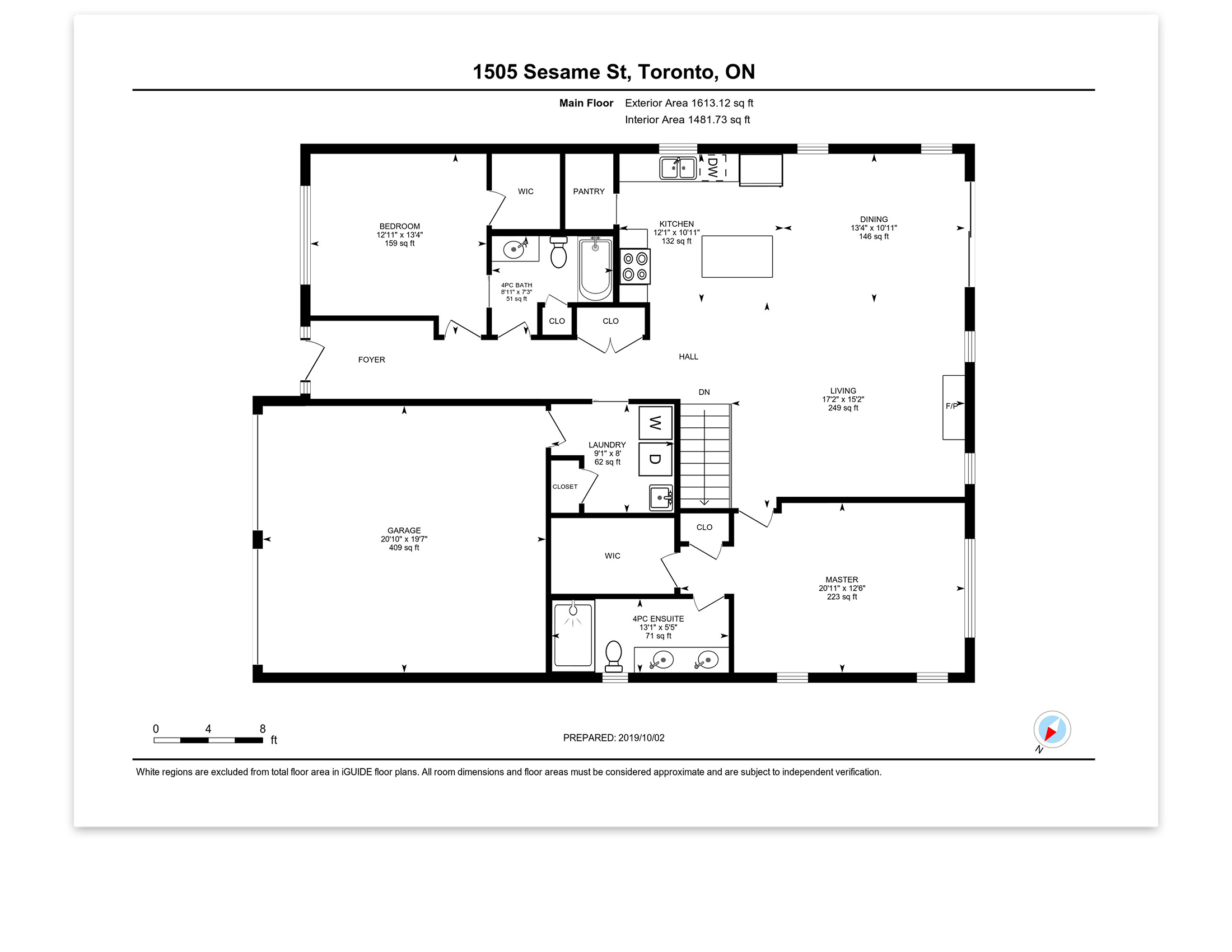
Standard
Premium
Explore the iGUIDE PLANIX camera systems
PLANIX R1
Looking to create accurate floor plans and immersive 3D tours that are easy to navigate?
The iGUIDE PLANIX R1 camera system is for you! With a built-in time-of-flight lidar scanner, the camera’s accuracy exceeds commercial and residential industry standards.
iGUIDE’s new PLANIX R1 is a game-changer—faster, more capable, and essential to our success. It’s a clear winner!
– Doug Logan, Fine Homes Photography
To capture a property, it’s a simple 3 step process:
- Capture: Connect your iGUIDE PLANIX R1 camera system to your smart device via the iGUIDE PLANIX mobile app, create a new project and start scanning the property.
- Process: Upload your data to the iGUIDE Portal where your iGUIDE 3D virtual tour, schematic floor plan, DWG or ESX files will be available once ready.
- Utilize: Easily share your files, post on social media or upload to your website. iGUIDE file formats integrate with smart devices and web platforms.
Did we mention?
iGUIDE Processing is per project with no subscription fees!
Why go R1 vs Core?
The next-gen PLANIX R1 elevates visuals with 130% more megapixels and on-site live mapping powered by SLAM technology. Its compact, rugged design and swappable battery ensure all-day shooting with trusted precision.

Performance
Measurement Range:
Up to 40m (approx. 130')
Typical Measurement Uncertainty:
+/- 25mm up to max range (raw point cloud), typically +/- 10mm from camera to wall (minimum 60cm wall length)
Laser Scanner Field of View:
360°
360° Camera:
Ricoh THETA X
Resolution:
11,008 x 5,504 (60MP)
Mechanical
System Unit Weight (without cover):
725g (1.76lb)
System Unit Weight (with cover):
986g (2.2lb)
System Unit Dimensions (without cover):
W: 9.90cm (3.90") x D: 7.75 cm (3.05") x H: 28.89cm (11.375")
System Unit Dimensions (with cover):
W: 9.90cm (3.90") x D: 7.75 cm (3.05") x H: 29.53cm (11.625")
Shipping weight (with carrying case, without packaging):
1,996g (4.4lb)
Carrying Case Dimensions:
W: 57.15cm (22.5") x D: 15.24cm (6") x H: 13.97cm (5.5")
Tripod Mounting Thread:
1/4-20
Connectivity & System Control
Wi-Fi:
Wi-Fi 802.11 2.4GHz/5GHz Access Point
Survey App:
iGUIDE PLANIX Mobile App
Environmental
Operating Temperature Range:
5-40°C (41-104°F)
Storage Temperature Range:
-20-60°C (-4-140°F)
Relative Humidity:
0-90%
Maximum Altitude (operating):
2,000 m
Electrical
System Battery:
12V Li-Ion battery, user-replaceable
System Power Supply:
Input: Input: USB-C 100-240VAC, 50-60Hz, 1.0A;
Output: 12VDC, 1.8A
System Battery Performance:
Up to 6 hours of typical operation
PLANIX Core
Looking to create accurate floor plans and immersive 3D tours that are easy to navigate?
The iGUIDE PLANIX camera system is for you! With a built-in time-of-flight lidar scanner, the camera’s accuracy exceeds commercial and residential industry standards.
It used to take me over two-and-a-half hours to go into a home and just do measurements and manually insert them into floor plans. But, with iGUIDE, it was all so quick and easy!
– Julie Pringle, Snap Photography
To capture a property, it’s a simple 3 step process:
- Capture: Connect your iGUIDE PLANIX camera system to your smart device via the iGUIDE PLANIX mobile app, create a new project and start scanning the property.
- Process: Upload your data to the iGUIDE Portal where your iGUIDE 3D virtual tour, schematic floor plan, DWG or ESX files will be available once ready.
- Utilize: Easily share your files, post on social media or upload to your website. iGUIDE file formats integrate with smart devices and web platforms.
Did we mention?
iGUIDE Processing is per project with no subscription fees!
Is the CORE for you?
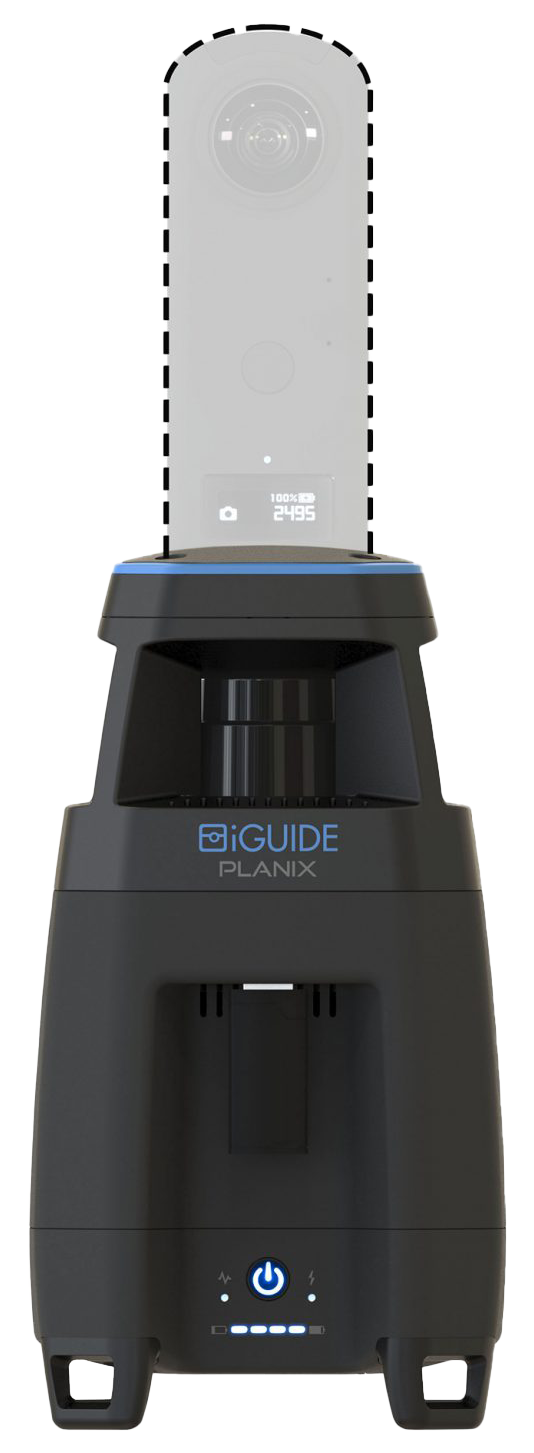
The iGUIDE PLANIX Core is for users who already have a Ricoh THETA Z1 (other cameras are not supported) and would like to use it for making iGUIDEs. We’ll provide instructions to help you install the RICOH THETA Z1 onto the iGUIDE PLANIX camera system.
Performance
Measurement Range
Up to 40m (approx. 130′)
Measurement Uncertainty
+/- 1cm (approx. 0.4″) up to max range*
Laser Scanner Field of View
360 degrees
360° Camera
Ricoh THETA Z1
Connectivity and System Control
Wi-Fi
Wi-Fi 802.11 2.4GHz/5GHz Access Point
Survey Web App
iGUIDE PLANIX app or Planitar web app in a browser over Wi-Fi from any device
Electrical
System Battery
7.2V 6.9Ah/47.7Wh Li-Ion battery, user-replaceable
System Power Supply
Input: 100-240VAC, 50-60Hz, 1.0A; Output: 12VDC, 3.3A
System Battery Performance
7 hours of typical operation
Mechanical
System Unit Weight
980g (2.16 lbs)
System Unit Dimensions
W: 11cm (4.3″) x D: 11cm (4.3″) x H: 34cm (13.4″)
Shipping weight (with carrying case, without packaging)
3.6 kg (8 lbs)
Carrying Case Dimensions
W: 39cm (15.4″) x D: 29cm (11.2″) x H: 17cm (6.7″)
Tripod Mounting Thread
1/4-20
Environmental
Operating Temperature Range
0-40 degrees C (32-104 degrees F)
Storage Temperature Range
-20-50 degrees C (-4-122 degrees F)
Relative Humidity
0-90%
*Typical, based on at least 60cm (approx. 23.6″) wide wall segment.


