Your practical solution for facility management
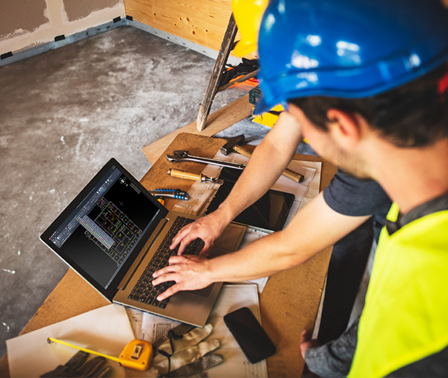
With iGUIDE, you can easily map interior spaces, create floor plans, record facility conditions, and take accurate measurements.

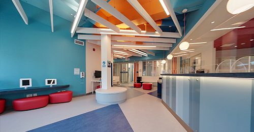
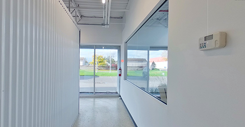
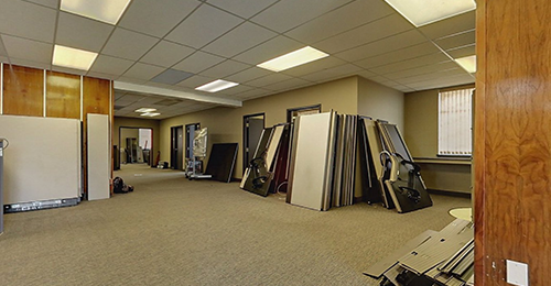
Premium - Commercial space
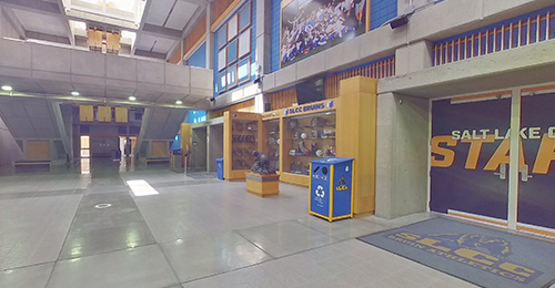
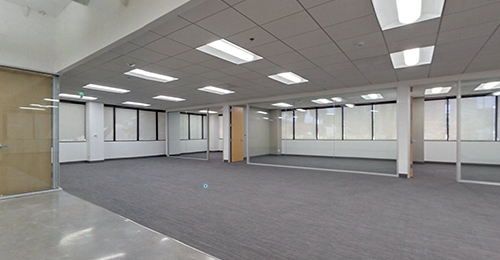
Premium - University
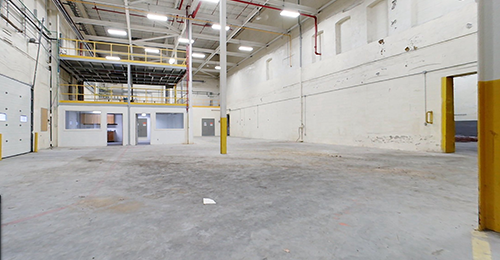
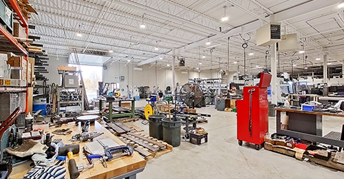
Standard - Storage Unit
Your projects aren’t one-size-fits-all, and neither are your deliverables
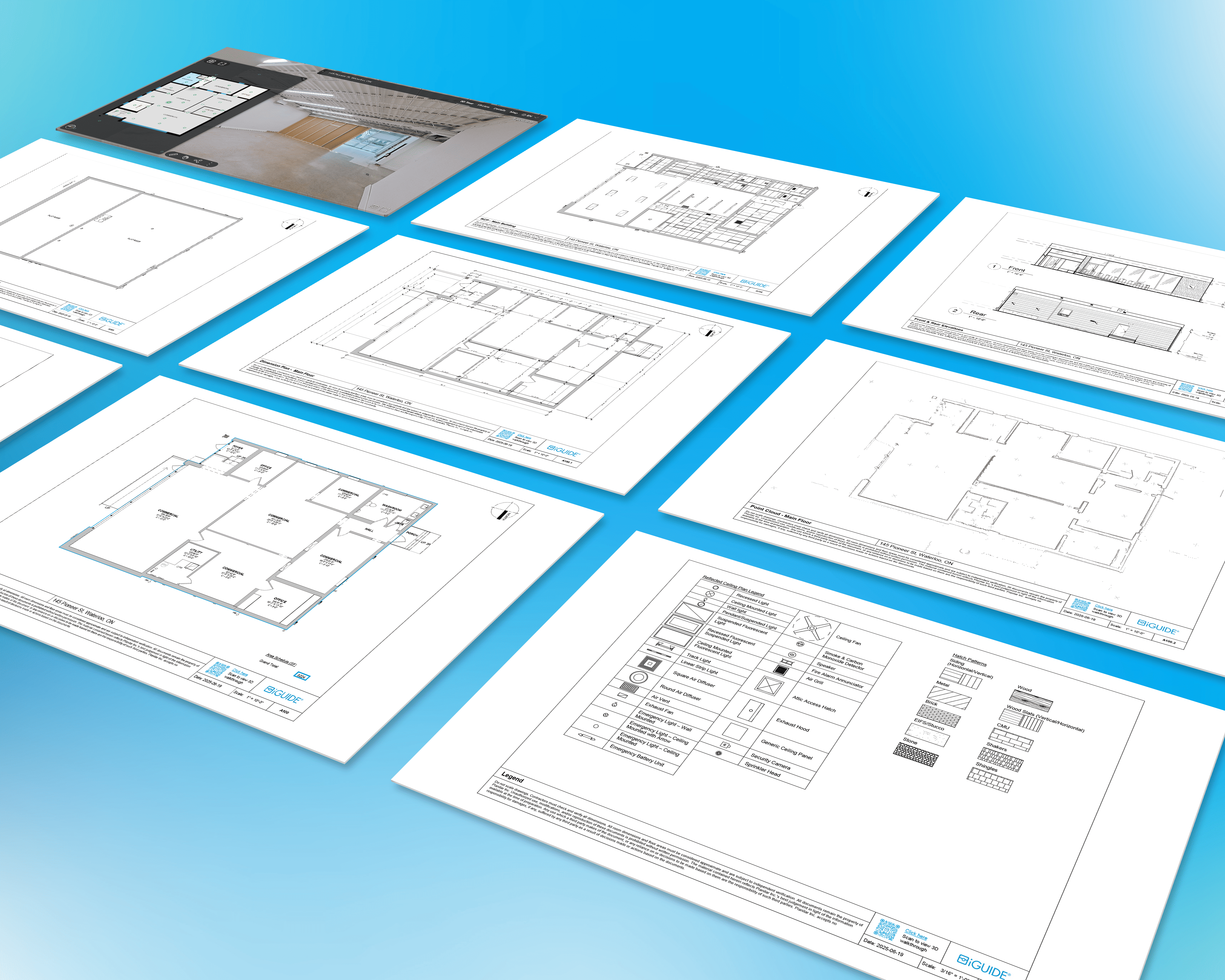
Order an Advanced Drawing Package with a variety of flexible add-ons to match your project’s needs.
Every Advanced Drawing Package includes:
- Plotted PDF Drawings (all included deliverables and any requested add-ons)
- 3D Virtual Walkthrough
- CAD Floor Plans (DWG)
- Lidar Point Cloud (DXF)
Available add-ons
Add the specific drawings your team needs. Get exactly what fits your project.
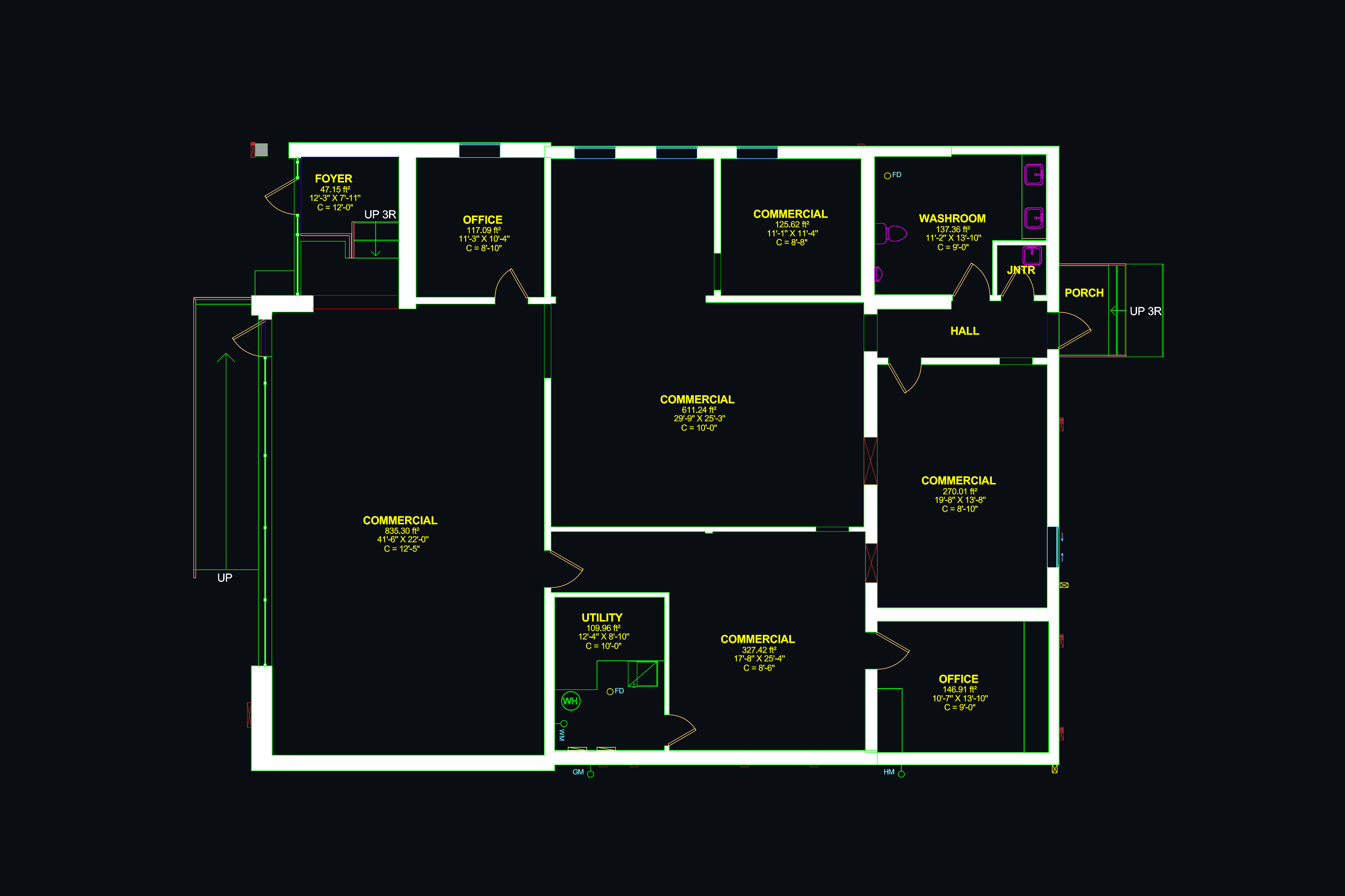
CAD Floor Plan (DWG)
Drafted floor plan in DWG format with LOD 200 detail. Includes AIA standard layers, annotations and Lidar point cloud data (DXF). Annotations are only included with iGUIDE Premium or Advanced Drawing Packages.
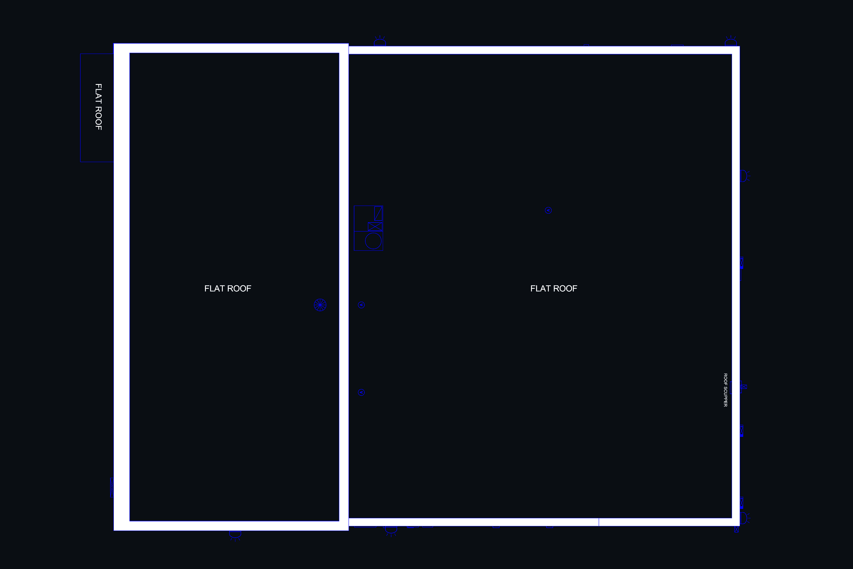
Roof Plan
Drafted roof plan in DWG format. Includes slopes and roof edges of the primary structure. Requires iGUIDE Premium or Advanced Drawing Package.
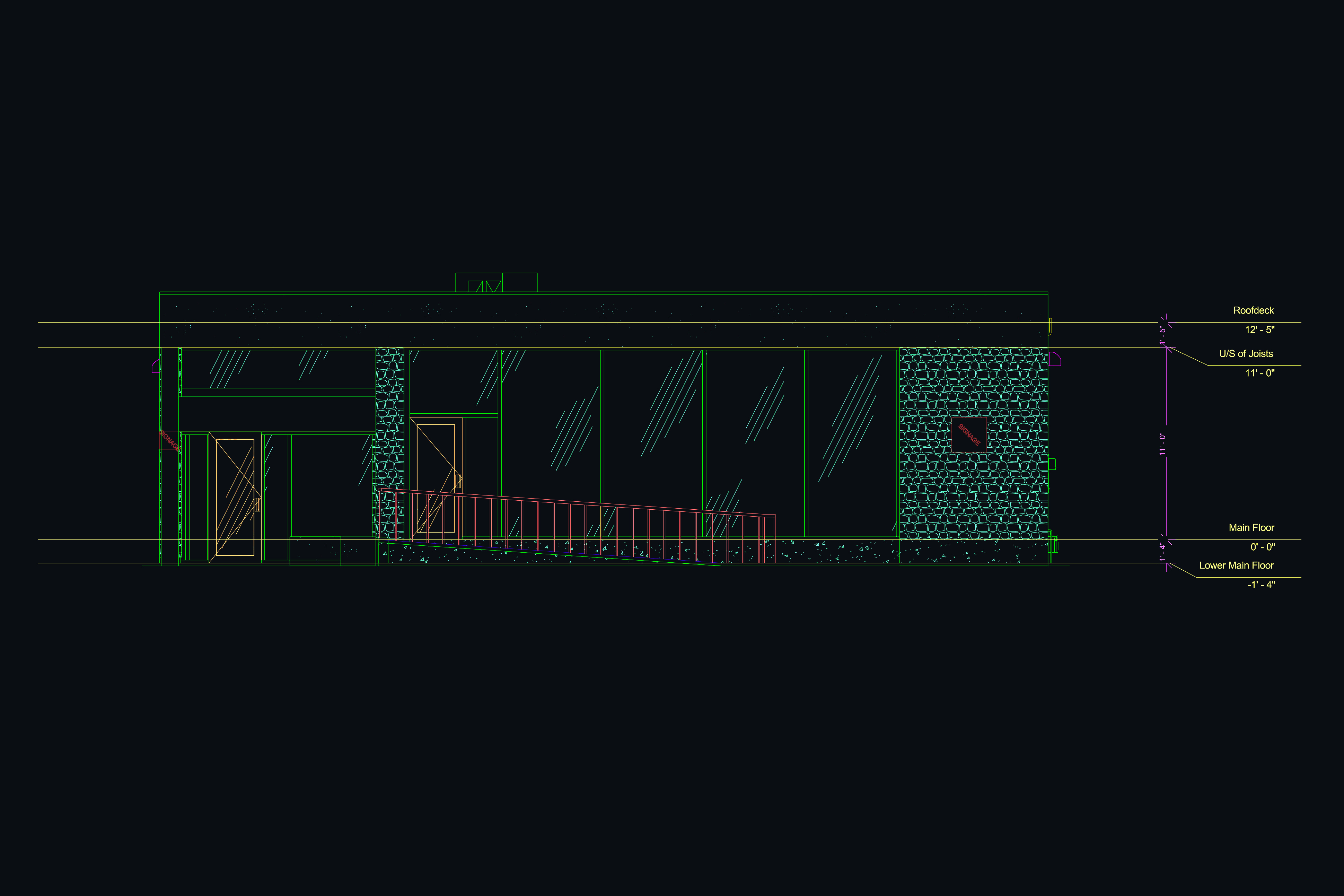
Exterior Elevations
Drafted exterior elevation drawings in DWG format, including front, rear and side building façades. Requires iGUIDE Premium or Advanced Drawing Package.
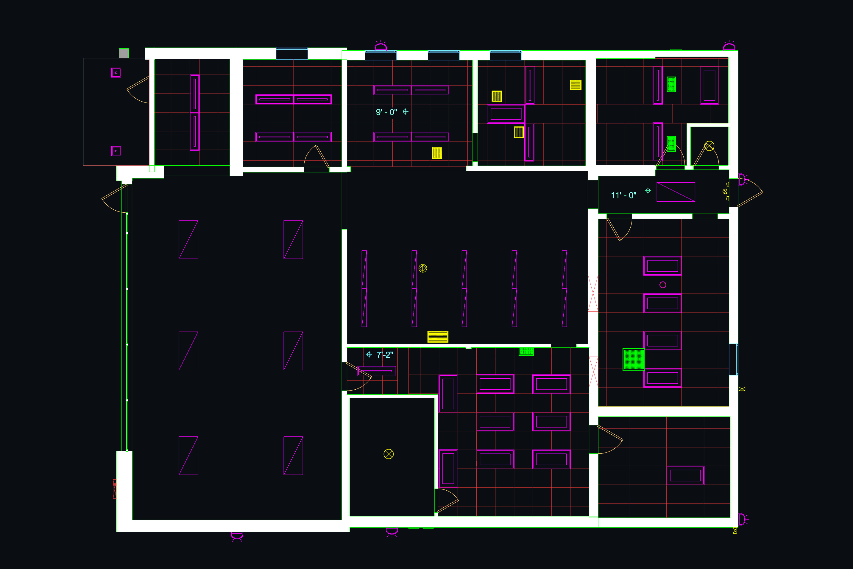
Reflected Ceiling Plan
Drafted reflected ceiling plan (DWG format) with elements like bulkheads, lighting and ceiling height indicators. Requires iGUIDE Premium or Advanced Drawing Package.
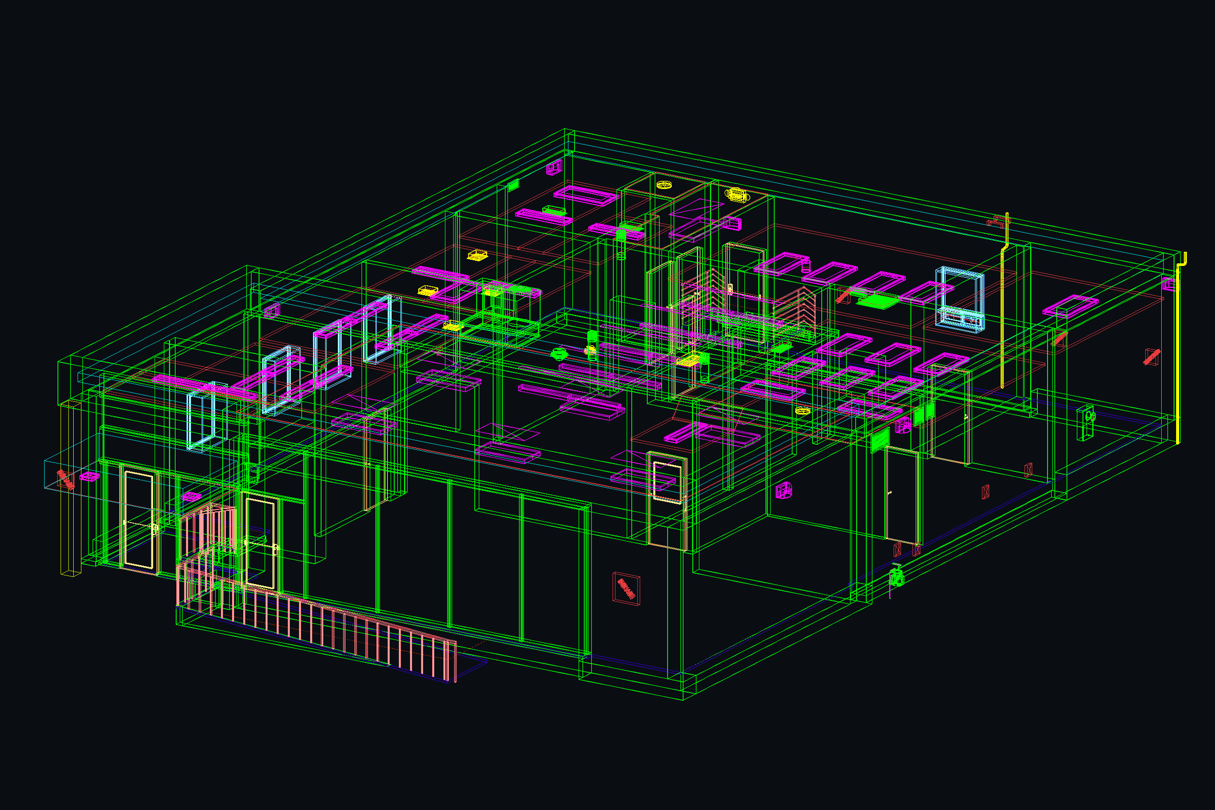
3D Model
3D model of drafted floors (Revit or DWG). Includes walls, doors, windows and basic structural elements. Requires iGUIDE Premium or Advanced Drawing Package.
iGUIDE DWG Comparison
DWG Floor Plans can be added to any standard or premium iGUIDE.
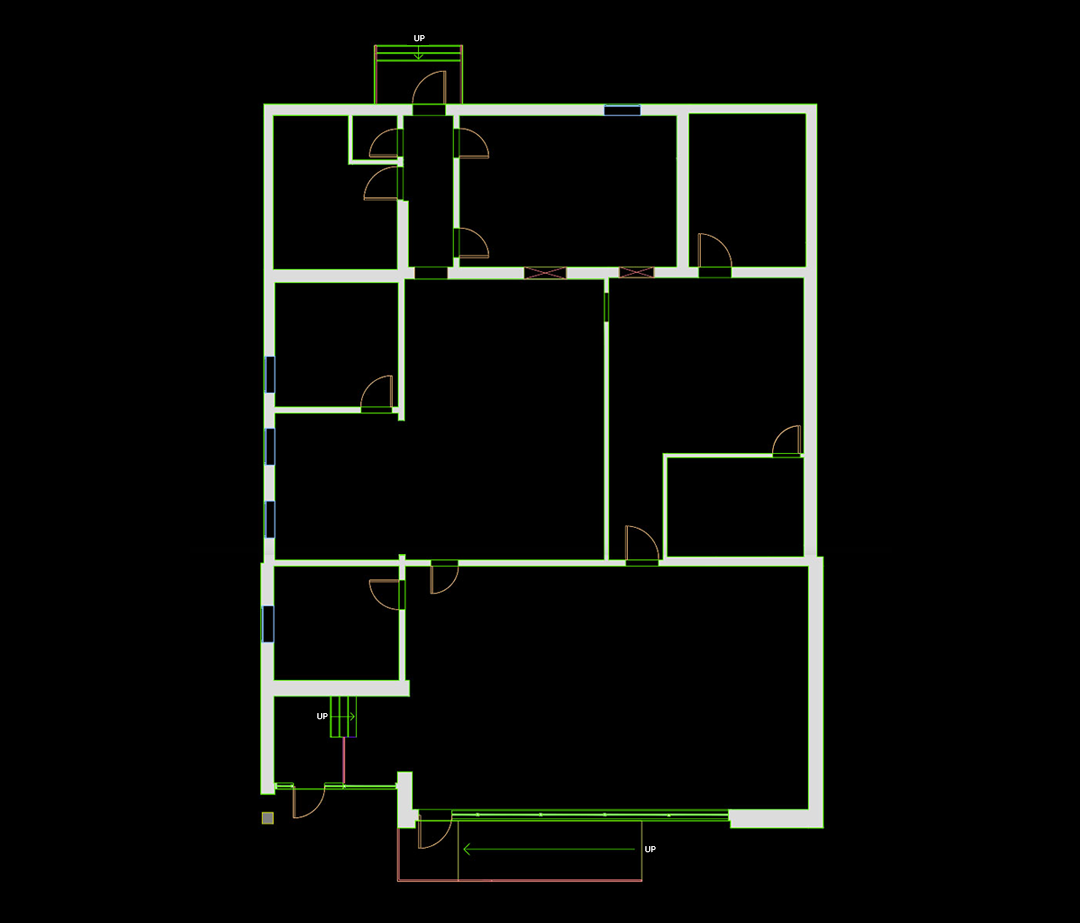
iGUIDE Standard: DWG Floor Plan
Includes features such as various window types, interior wall thicknesses set to North American standards, vertical floor-to-floor alignment and a LOD of 200.
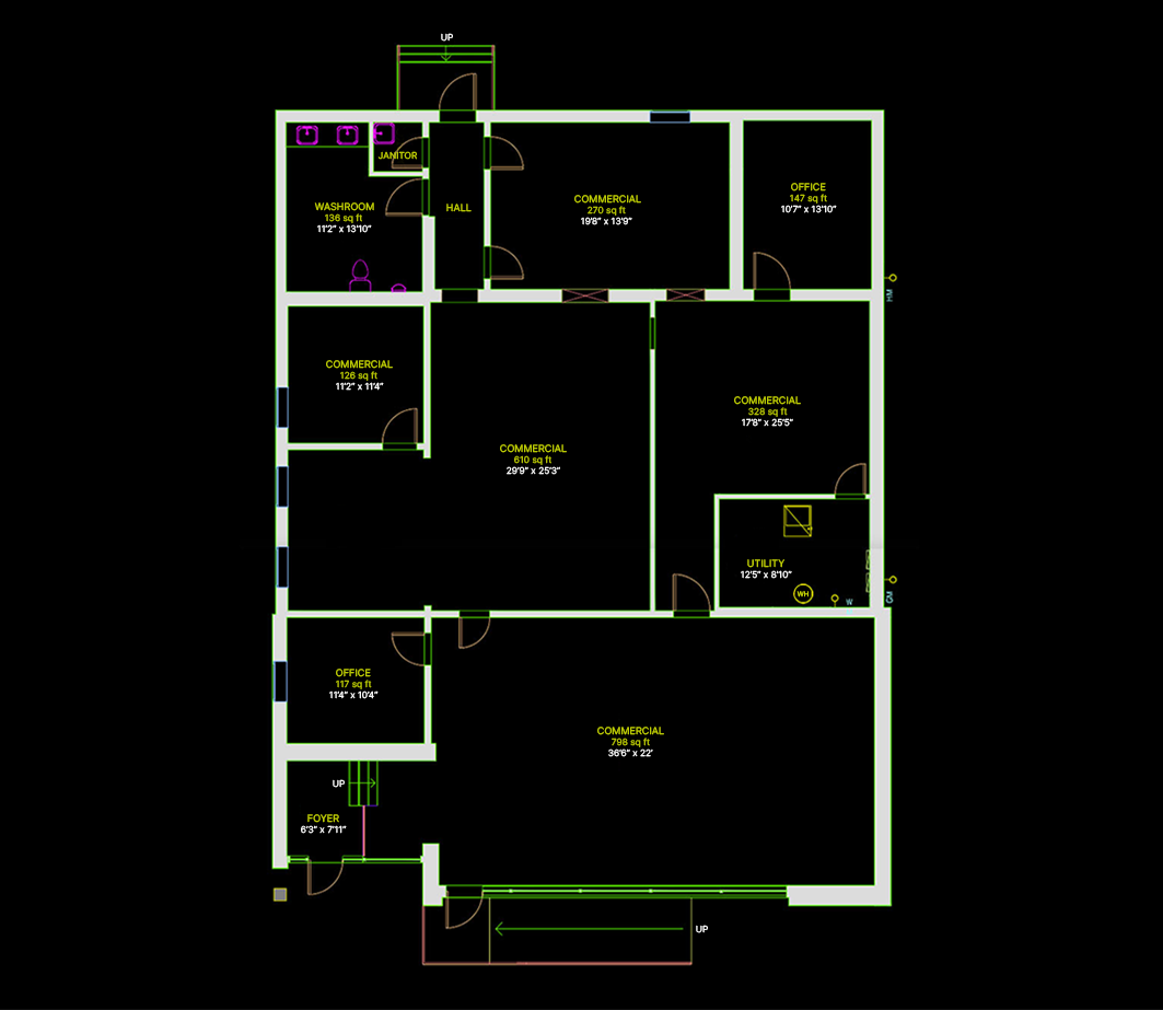
iGUIDE Premium: DWG Floor Plan
It’s taking what you love in the iGUIDE Standard DWG and enhancing it with additional details including annotations such as labels, area totals, objects and dimensions.
iGUIDE Report
All of your iGUIDE links and measurement information.
| | |||||||||||||||||||||||||
| |||||||||||||||||||||||||
| |||||||||||||||||||||||||
| |
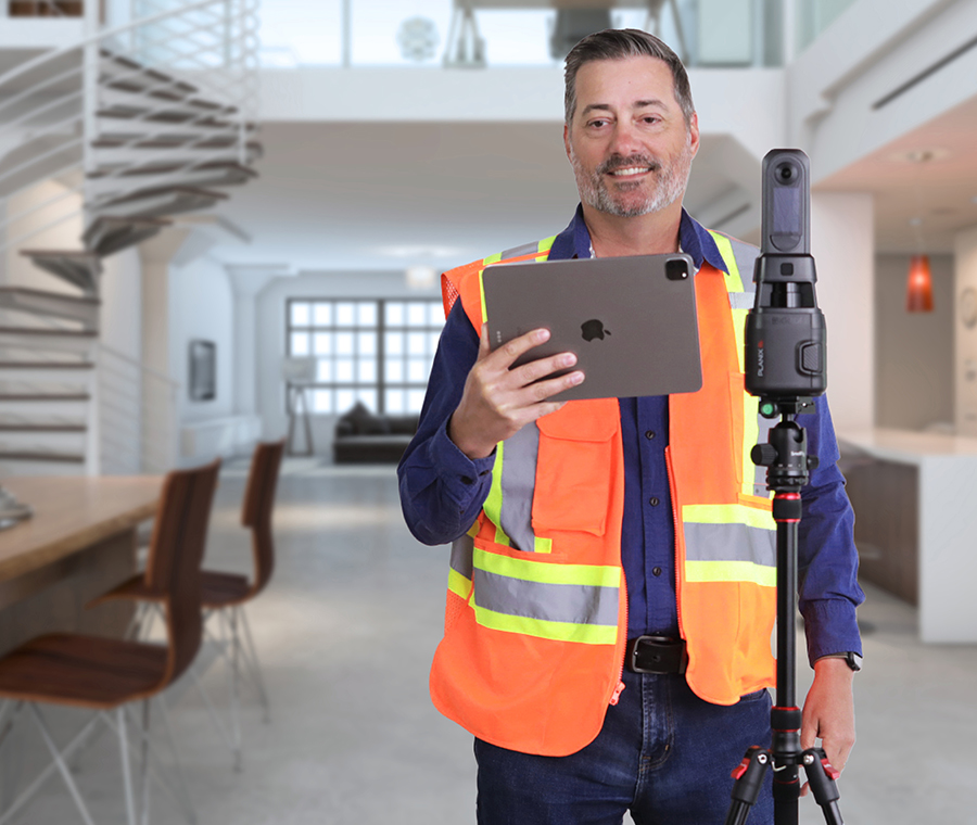
PLANIX Camera System

PLANIX R1
The iGUIDE PLANIX R1 camera system is for you! With a built-in time-of-flight lidar scanner, the camera’s accuracy exceeds commercial and residential industry standards.
| 360° Camera | Ricoh Theta X |
| Resolution | 60MP |
| Scan speed | 8s |
| Size | 3.9" x 3.1" x 11.4" |
| Weight | 725g |