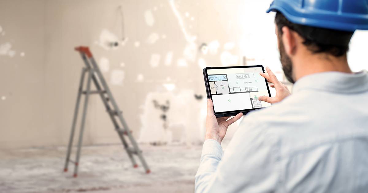
As a claims professional, accurate documentation is essential to ensure your assessment complies with regulatory guidelines.
Document claims with confidence
Filing insurance claim documentation confidently is integral to your brand reputation and professional liability. Accurate records of the property and its condition are essential for a successful claim.
Risks exist with manual measurement in the insurance claims process. When measurements are taken manually, there is a significantly higher risk of human error. Mistakes in measurement can lead to inaccurate calculations and estimations, which may result in incorrect claim settlements.
This can cause financial losses for both the insurer and the policyholder. Additionally, manual measurement processes are time-consuming and inefficient, leading to delays in claim processing and customer dissatisfaction.
Simplifying the restoration process
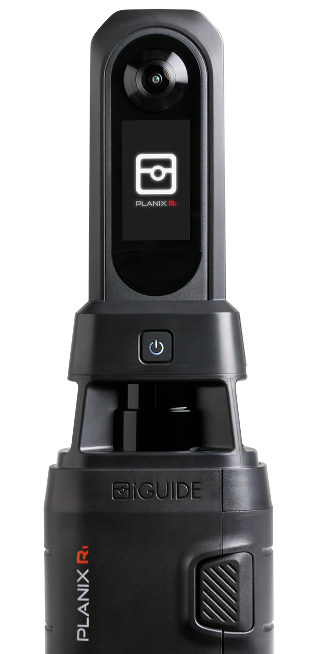
That’s where the iGUIDE system can help. The iGUIDE technology and digital tools can greatly enhance claim management efficiency, allowing for streamlined communication and documentation.
Here’s how:
- Designed as a quick capture system, a 3,000 sq ft residential property can be scanned in as little as 15 minutes.
- Your ESX files are delivered within one business day*.
- 3D interactive virtual tours document property conditions, providing a visual representation of the space.
- Using LiDAR technology, iGUIDE’s camera system accurately measures the distance to walls with a typical 1 cm (approx. 0.4”) degree of uncertainty up to a range of 40 meters (130 ft).
These benefits can be particularly advantageous when streamlining the insurance claim process. By utilizing iGUIDE to create your ESX files, the estimating process can begin much sooner without having to sketch the floor plan in Xactimate manually. The result is being able to document more claims each day while closing claims quicker.
Tips and techniques for a smooth experience
Real-time tagging significantly improves the efficiency of your documentation process, allowing you to add property information and details onsite. This feature not only saves time but also expedites building condition assessments and property insurance claims.
As you navigate the property shooting your iGUIDE camera system, the real-time tagging feature allows you to capture photos and notes and tag them within your iGUIDE. This feature provides immediate context and understanding of the damage in real-time.
A system that works
The iGUIDE camera and software platform is the most efficient system to map interior spaces and features accurate floor plans, measurements, reliable property square footage and documentation.
By integrating floor plans and visual data, iGUIDE provides an intuitive and practical way to document and explore insurance claims digitally.
- Enhanced communication: Capture claims in real-time with virtual 3D reducing the need for additional on-site visits.
- Simplified file sharing: With iGUIDE, digital files can be shared with stakeholders, clients, litigators and team members. Your files are secure and only available to those you decide to share them with.
- 3D digital measuring: Accurate measurement inside the 3D walkthrough. Select two points as you would with a tape measure and get an accurate measurement. Save time and also prevent errors or delays caused by manual measurement.
Accurate documentation is essential to the integrity of your reputation and business, and iGUIDE can play a key role in ensuring your assessment is accurate and compliant with regulatory guidelines. Discover the advantages of using iGUIDE for efficiency and accuracy in your claims process.
Schedule a demonstration with our experts to witness how it can enhance your business today.


