
MC3 Design: No more manual measuring thanks to iGUIDE
Architecture & Remodeling
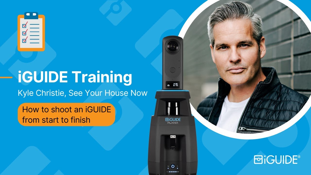
Learn How to Shoot an iGUIDE: Pro Tips for Amazing Results!
Residential Real Estate, Real Estate Photography, Architecture & Remodeling, Insurance & Restoration, Facility Management
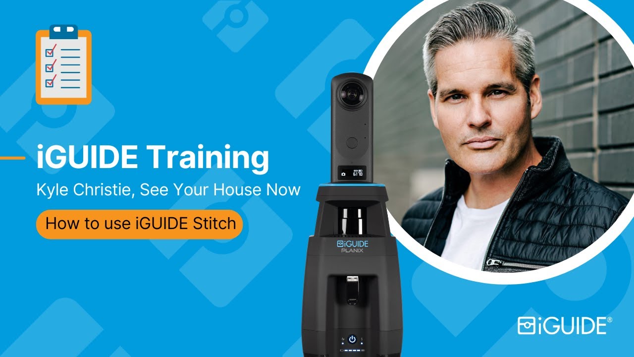
iGUIDE Stitch Made Simple: The Ultimate Beginner's Guide
Residential Real Estate, Real Estate Photography, Architecture & Remodeling, Insurance & Restoration, Facility Management
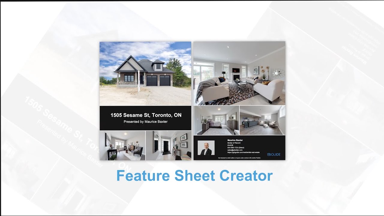
The iGUIDE Feature Sheet Creator
Residential Real Estate, Real Estate Photography
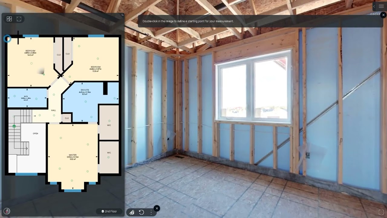
Using iGUIDE Advanced Measurements
Residential Real Estate, Real Estate Photography, Architecture & Remodeling, Insurance & Restoration, Facility Management

iGUIDE capture process for Insurance & Restoration
Insurance & Restoration

The Secret Weapon
Residential Real Estate, Real Estate Photography
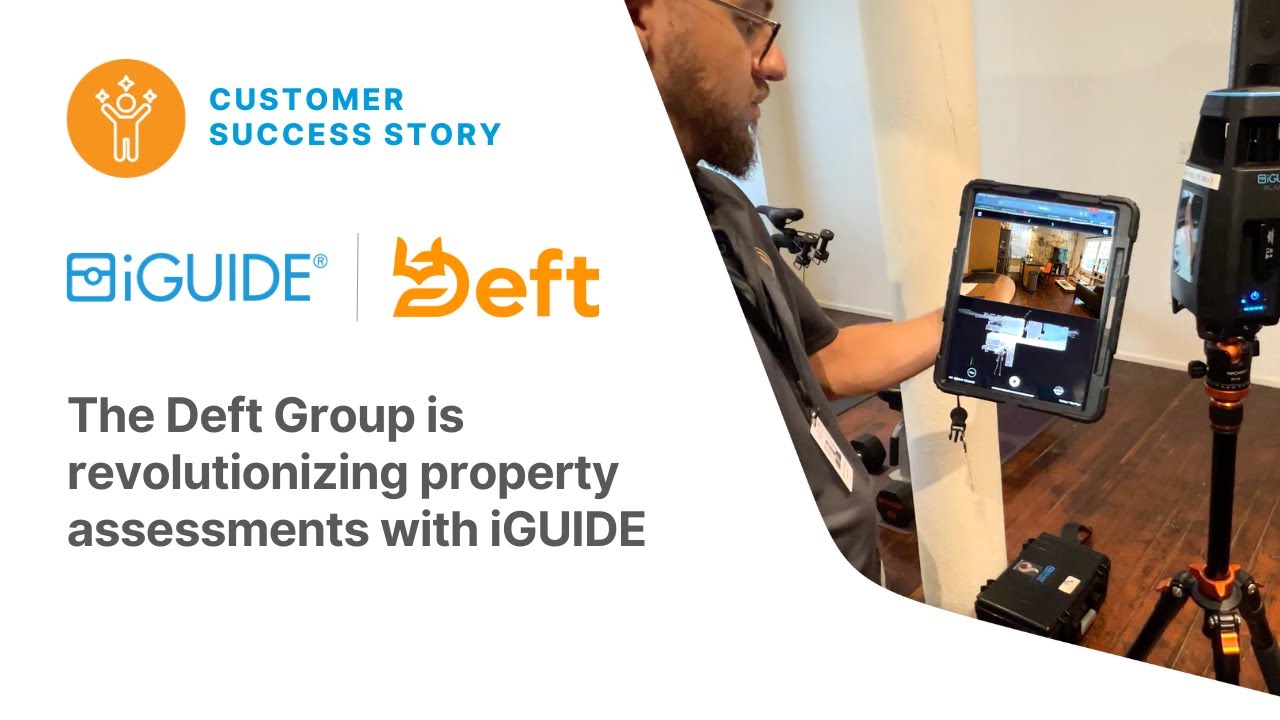
The Deft Group is revolutionizing property assessments with iGUIDE
Insurance & Restoration

A Real Estate Photographer's perspective
Real Estate Photography
Sorry, your search did not return any results.